

Get detailed maps, area weather, and more by becoming an Adventurer. Learn More.
Home › Utah › South Fork Little Deer Creek Trail and Ridge Trail Loop



About the Trail
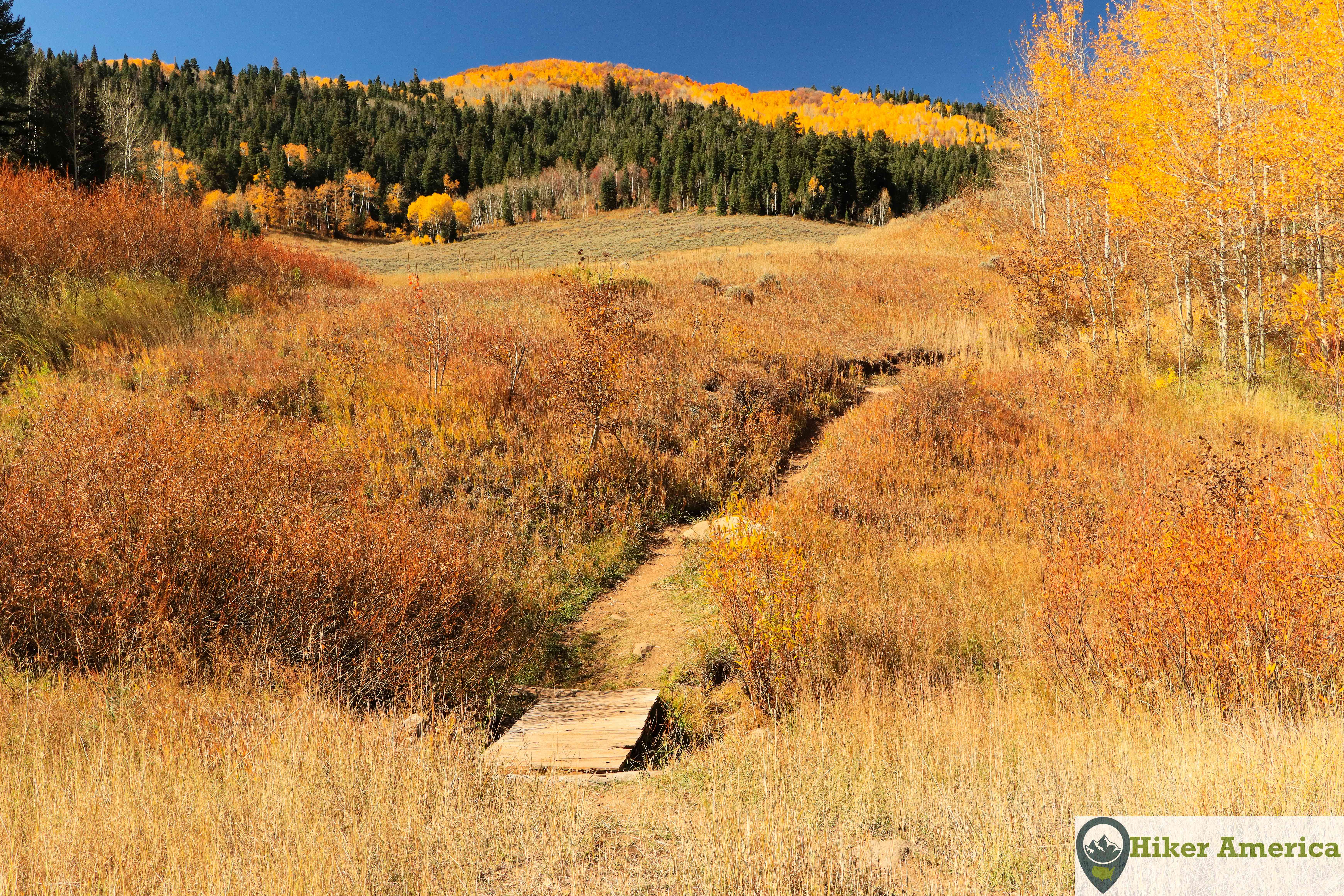
This loop provides spectaculars views of the Wasatch Range. In addition, the vibrant fall foliage on the loop is stunning and the best part is that the hike is not crowded unlike some of the other hikes in the area.
Map
View Larger Map
Directions
From Heber City, Utah, take Ut 113 for 3.2 miles to Midway, Ut. Take a left to stay on Ut 113 and follow it south for 1.7 miles and take a right on Tate Ln. At the end of Tate Ln, take a right on Stringtown Rd and follow it 0.2 miles and take a left on Cascade Springs Drive. Follow Cascade Springs Drive for 11 miles. The unmarked parking area is on the right. If you want to park at a more official trailhead, drive up the road and immediately take a left to park at the Winter Pass Trailhead. The milage will be the same if you hike the whole loop anyway.
Description
From the unmarked trailhead, take the path to the west and cross a wood bridge in a meadow. The spur trail stays in the meadow and then goes through a small aspen stand before reaching the South Fork Little Deer Creek Trail. Take a right and soon start ascending steeply on a dry ridge with oaks. Now the trail enters a pine forest and switchbacks up to an open area that has excellent views. After this, the trail ascends to an intersection with the Ridge Trail. Take the Ridge Trail to the right for about 0.6 miles to reach a peak with excellent views. After enjoying the views, return back to the intersection with the South Fork Little Deer Creek Trail. Stay straight on Ridge Trail and start ascending up to a spectacular view of Mount Timpanogos. After the view, the trail descends through aspens to the Mud Springs Trail. Take a left to stay on the Ridge Trail and ascend to another excellent overlook. The trail now travels through meadows and oaks before reaching the Pine Hollow Trail. Stay straight and reach another junction where the Ridge Trail turns left. Follow the hilly trail to the Alpine Scenic Highway and cross the road to end up at the Summit Trailhead. At this trailhead, take the Lame Deer Trail for 1 tenth to the South Fork Little Deer Creek Trail and take a left. The trail crosses the Alpine Scenic Highway and then crosses a dirt road. After this, the trail descends through an aspen forest with meadows for the next 1.2 miles. Next a junction with the Winter Pass Trail is reached. This trail is a shortcut to your parking lot but you will have to hike a short distance on the main road. If you want to complete the South Fork Little Creek Trail, stay straight and cross the main road. Now the trail meanders around the edge of a large meadow with aspens before entering a thicker aspen forest and returning to the unmarked trail that leads back to your parking lot.
| Hike Facts | Trailhead Facts | Location | |||
|---|---|---|---|---|---|
| 🥾 Trail Features: | Views, forests, meadows and fall foliage | 🥾 Parking: | Small, unmarked dirt parking area with limited space. | 🥾Nearest Services | Heber City, Orem, Midway and others all have plenty of services like food and gas and are about 40 minutes from the trailhead. |
| 🥾 Milage: | 8.1 mi/13.036 km total | 🥾 Acccess Road: | Paved | 🥾 Nearest Lodging: | Heber City, Utah and Orem, Utah have plenty of lodging options. There are also closer places to stay like in Sundance, Utah and Midway, Utah but they have less choices. |
| 🥾 Elevation Gain: | 1351 ft/411.78 m | 🥾 Trailhead Features: | Just limited parking. | 🥾 Nearest Camping: | Timpooneke Campground and Little Mill Campground are to the north. Deer Creek State Park has campgrounds to the south. |
| 🥾 Trail Use/Surface: | 🥾 Trailhead Elevation: | 7406 ft/2257.35 m | |||
| 🥾 Pets: | Yes | 🥾 Park Hours: | 24 | ||
| 🥾 Crowds: | No | 🥾 Fee: | None | ||
| 🥾 Bugs: | Only in spring and summer | 🥾 Best Season: | Spring, summer and fall |
Handicap Acccessibility
No
Tips for a Great Hike
🥾 Bring water and carry a jacket.
🥾 The short spur is unmarked. If you are unsure, you can park at another trailhead right up the paved road and use the Winter Pass Trail to access the full loop. You will be hiking around the same meadow instead of through it.
🥾 Dirt bikers use this trail, so use caution.
🥾 There are multiple starting points for this loop. You can even just hike the Ridge Trail from the Summit Trailhead for an out and back.
🥾