
Get detailed maps, area weather, and more by becoming an Adventurer. Learn More.
Home › Utah › Cohab Canyon Trail






About the Trail
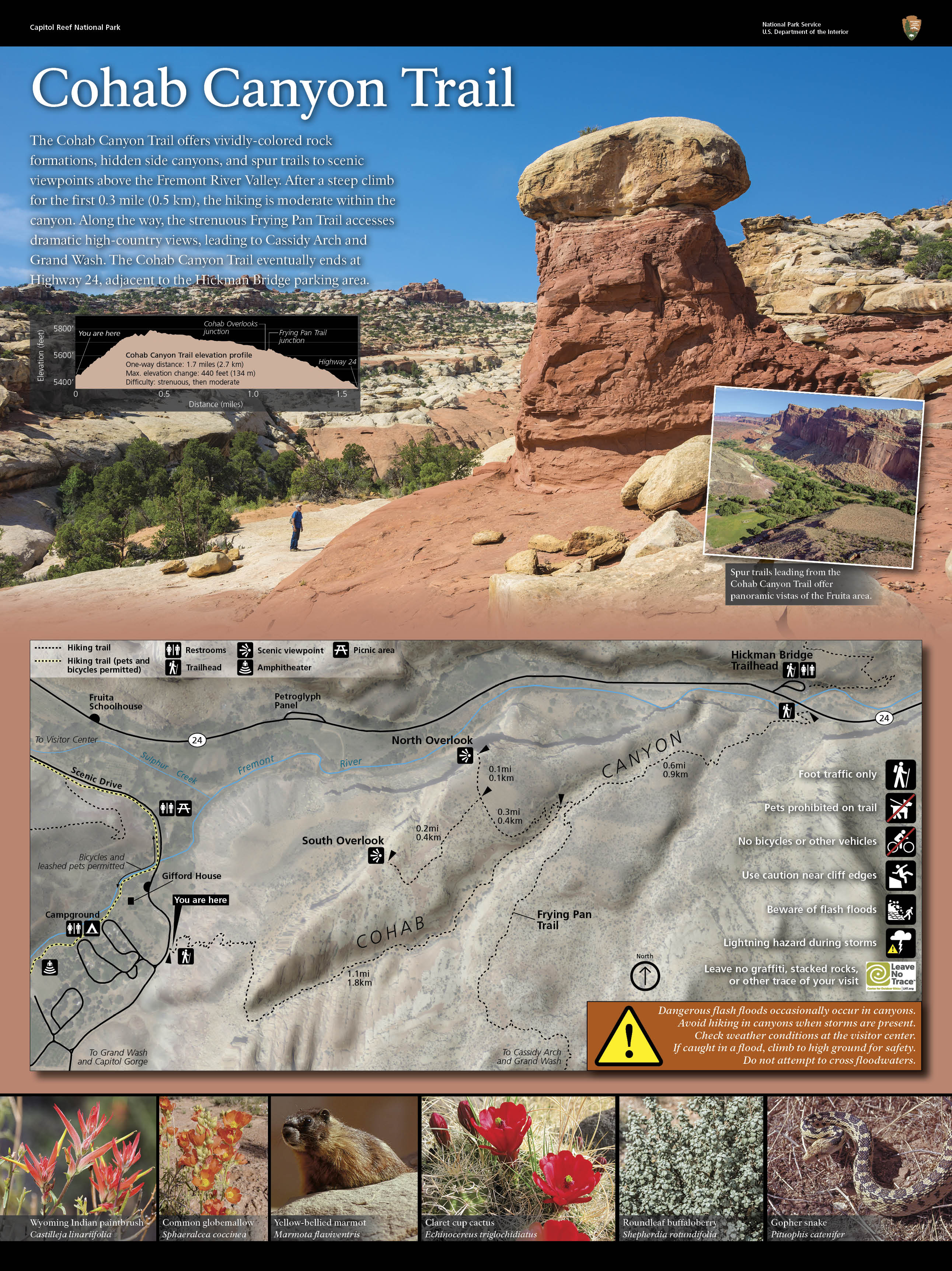
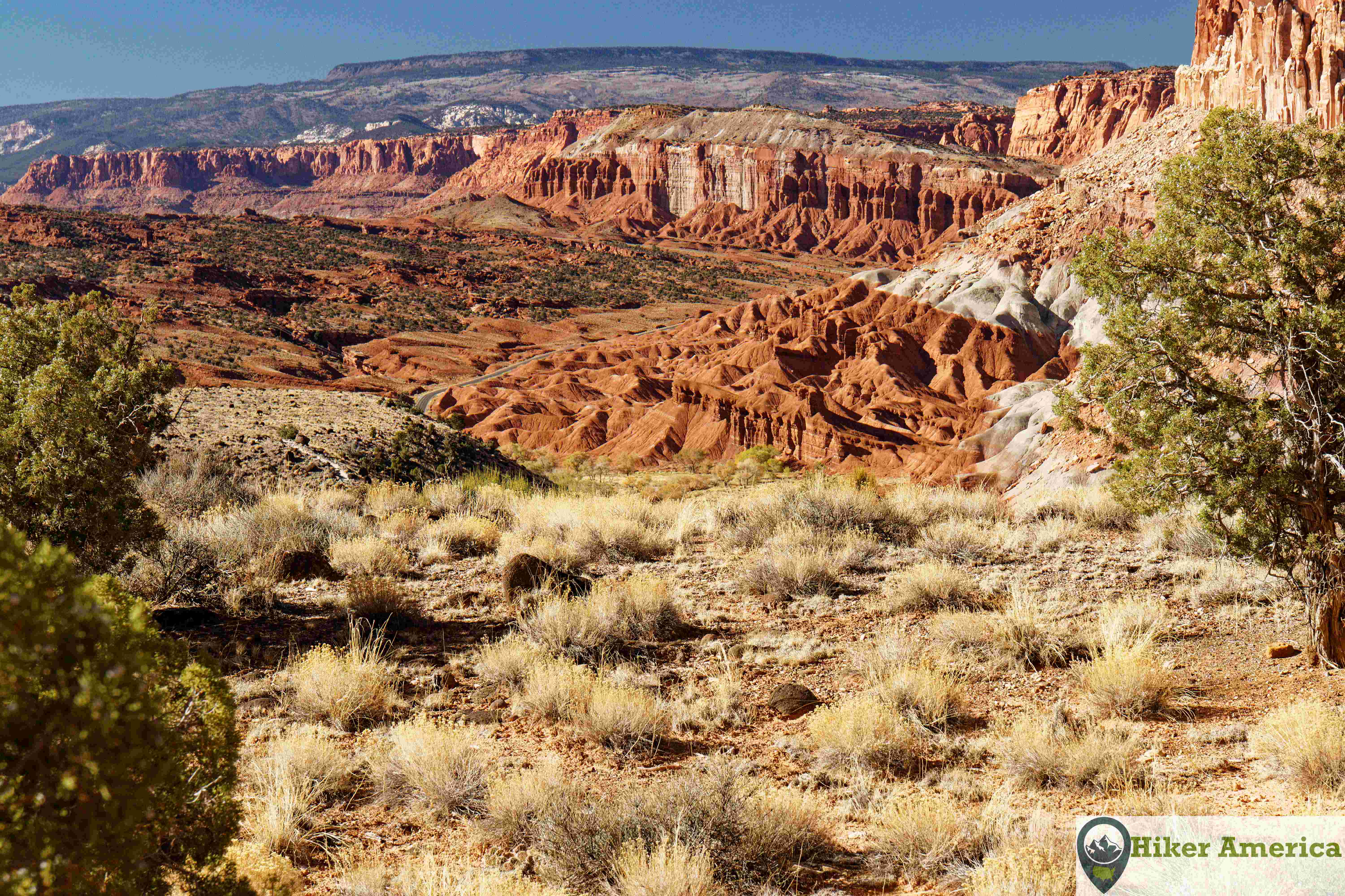
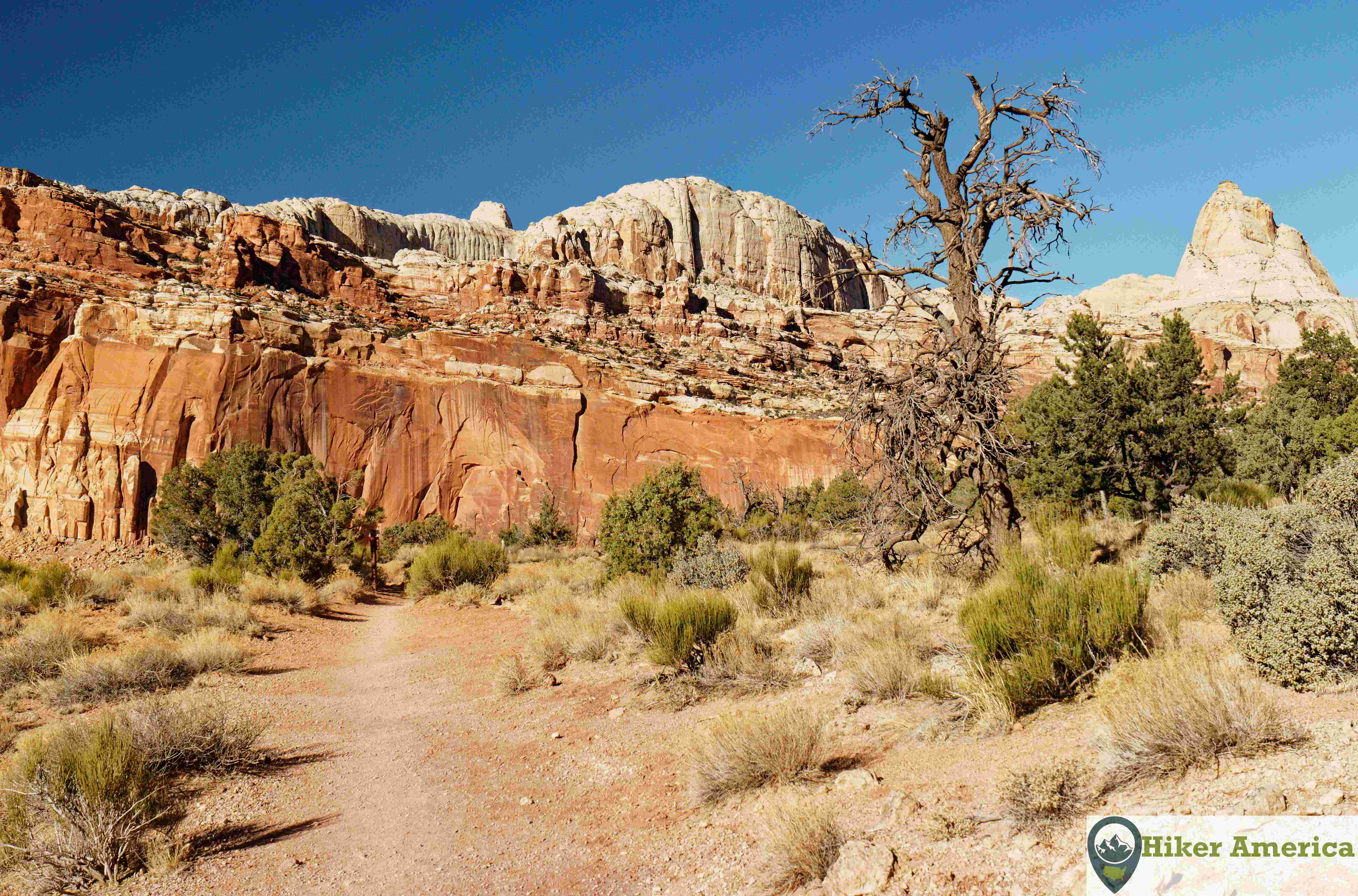
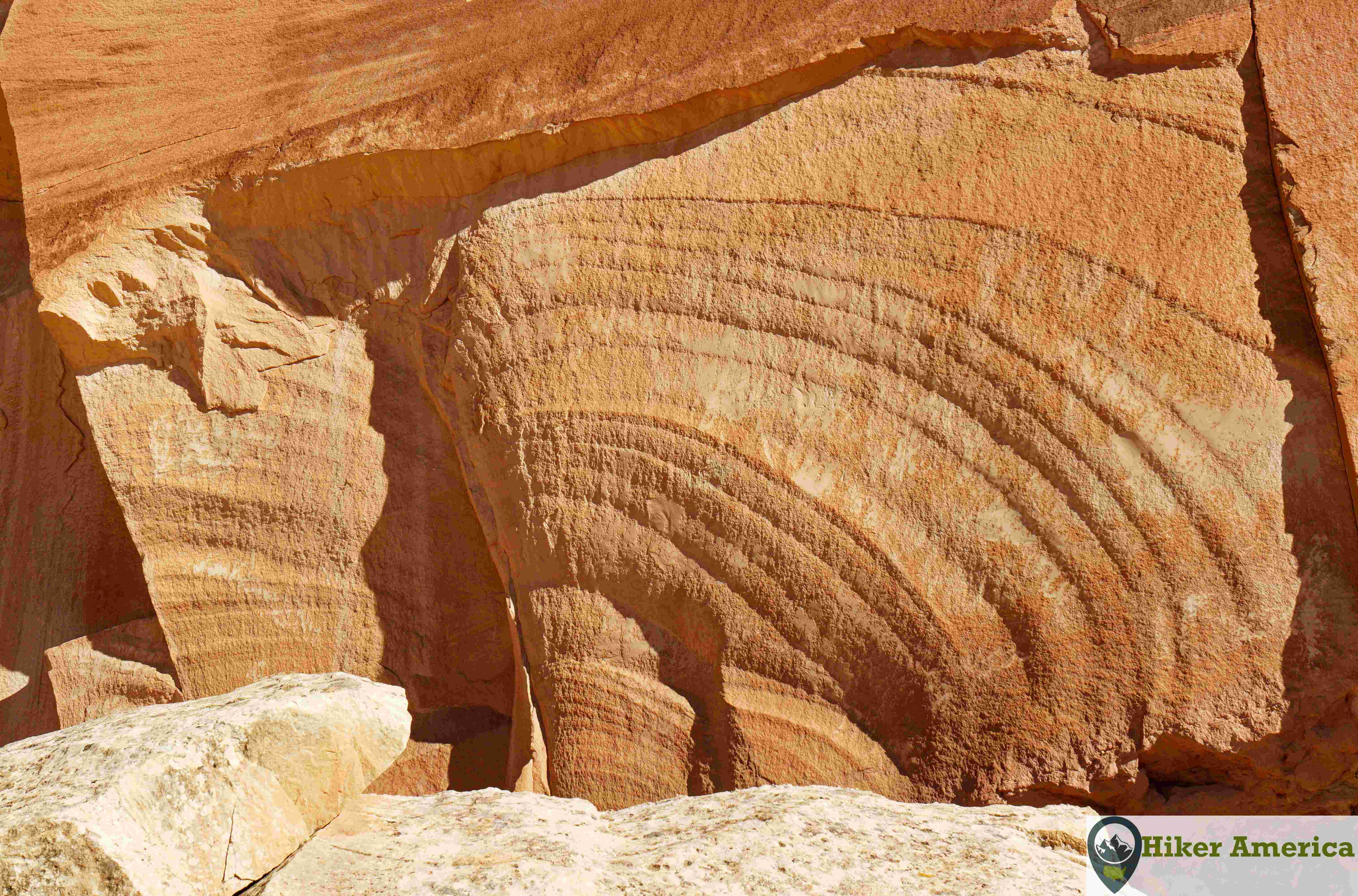
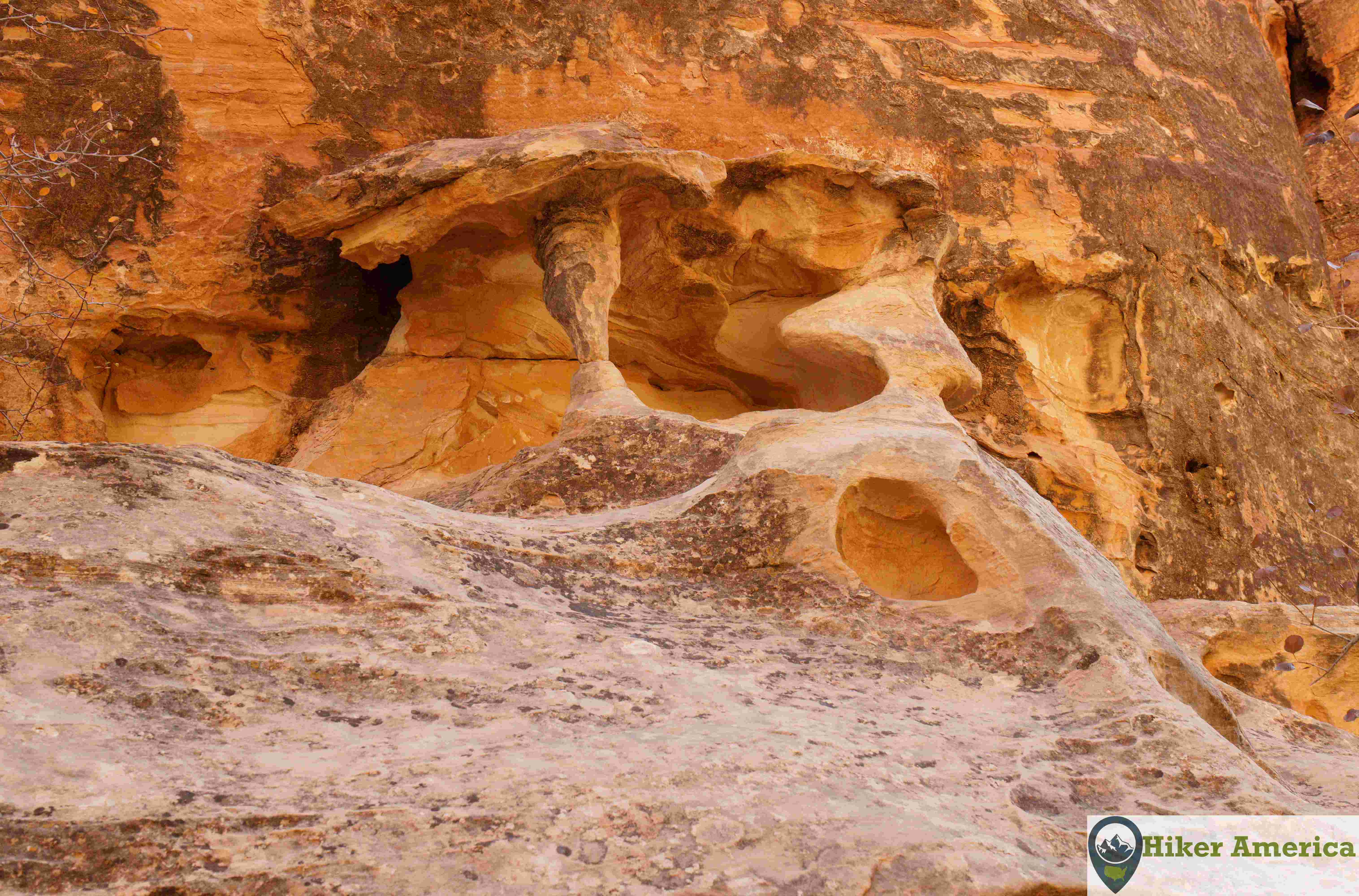
This trail begins across from the Fruita Campground and provides excellent views of the surrounding valley as well as a close-up look at the sculpted pattens in Cohab Canyon. In addition, more views can be had by hiking to two overlooks on a spur off of the Cohab Canyon Trail.
Map
View Larger Map
Directions
From the junction of Hwy 12 and Hwy 24 in Torrey, drive east for 11 miles and turn right onto Scenic Drive. Drive on this road for 1.2 miles. There will be a barn on the right. Turn left into the large parking area. The trail begins just south of the parking lot.
Description
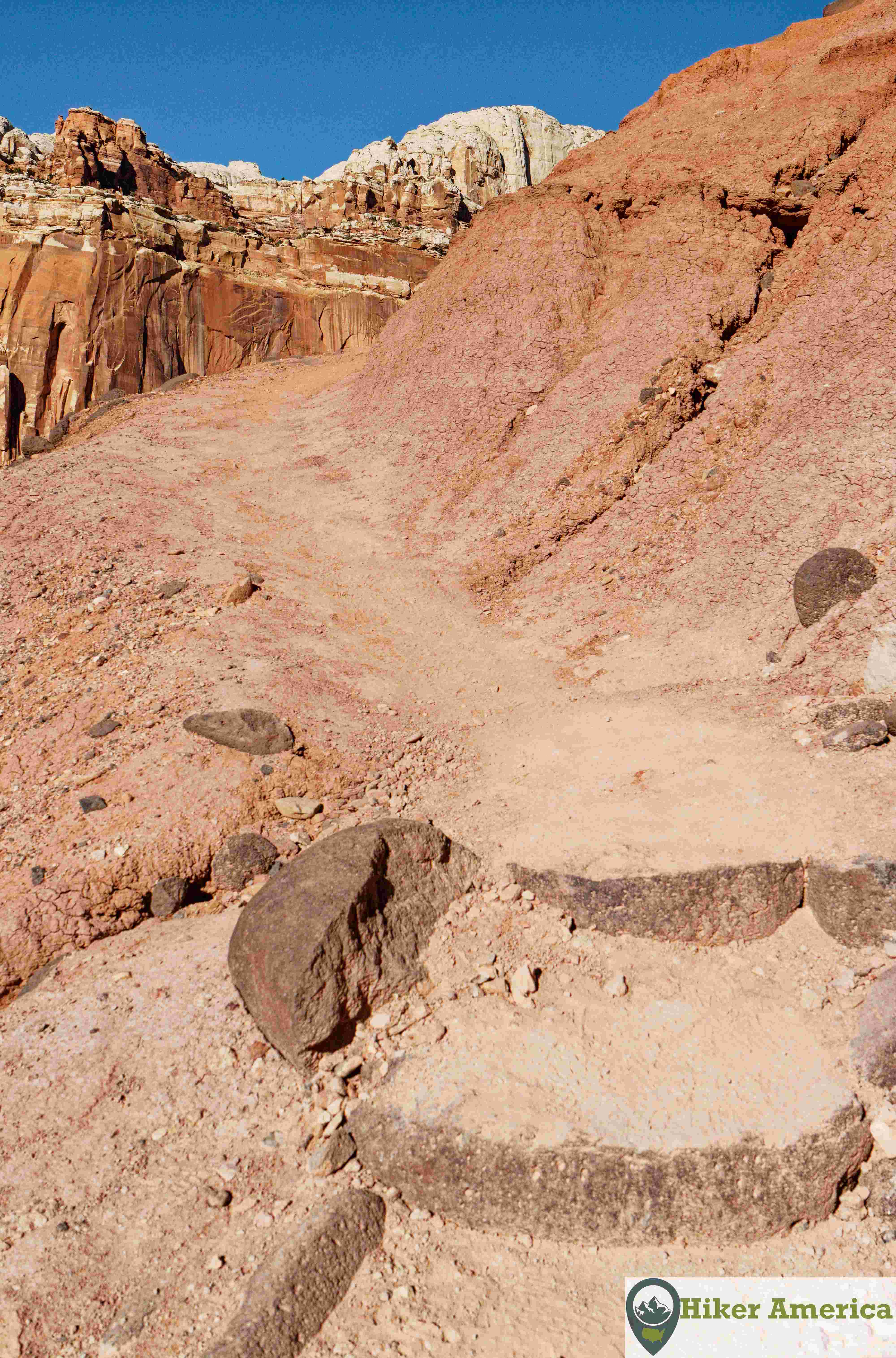
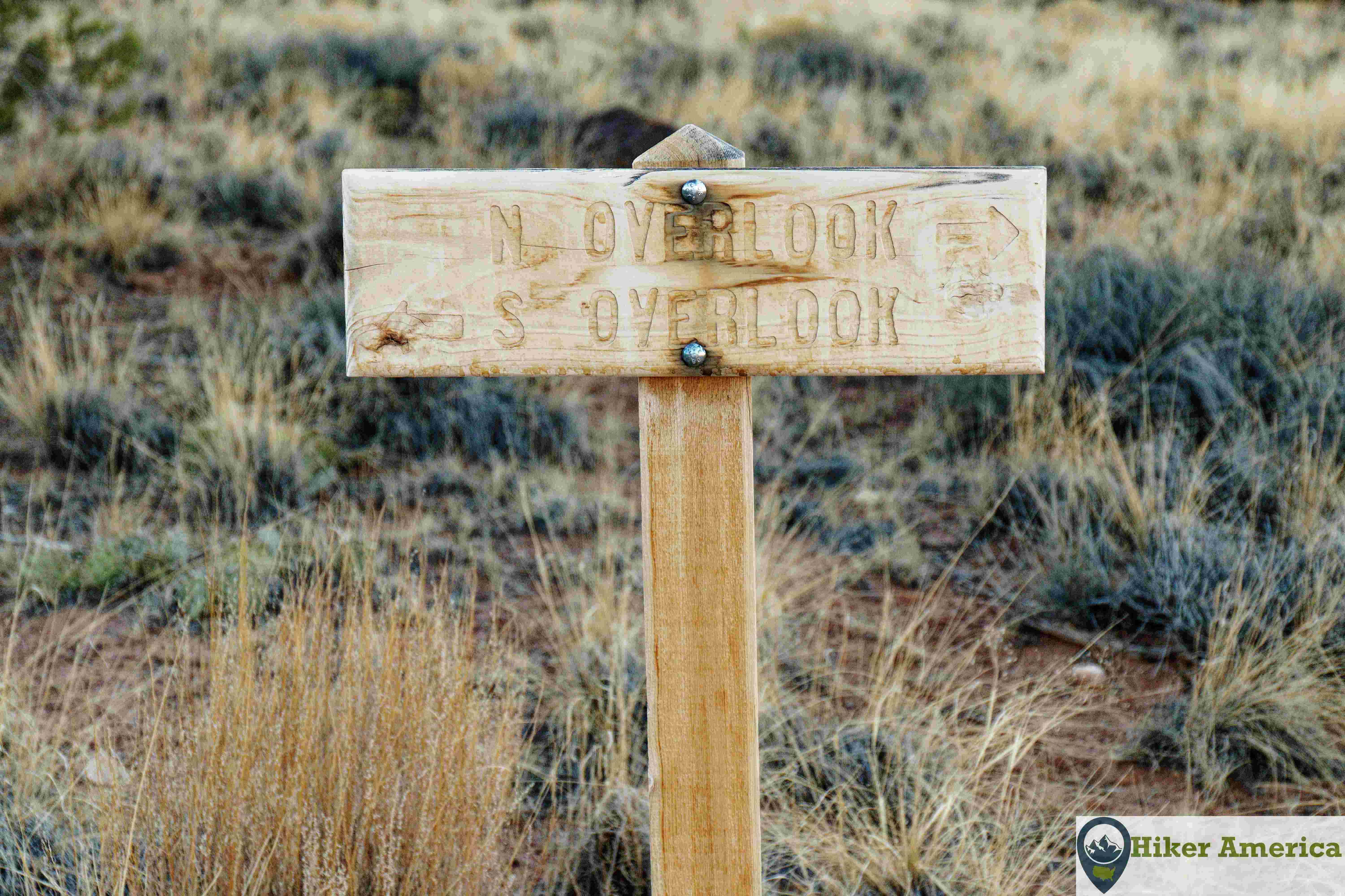
From the large parking lot, hike the trail along the road that leads south to the sign for the Cohab Canyon Trail. The trail climbs steeply up switchbacks to the top of Cohab Canyon. Excellent views are all along here. Now, the trails descends slightly into the canyon where the sculpted walls are. The trail continues down a wash and then leaves it onto some slickrock to bypass a pour off. Soon after, a sign is reached that points to the Fruita Overlook. Turn left, and ascend 180 feet up switchbacks to the top of the mesa. Here, another signed junction is reached. Straight goes to the north overlook and left goes to the south overlook. Both overlooks are worth it. The north overlook spur is very short and ends at an excellent view. The south overlook spur is longer and has less expansive views despite being higher. It ends at some interesting rocks that are photographic with views to the northwest.
| Hike Facts | Trailhead Facts | Location | |||
|---|---|---|---|---|---|
| 🥾 Trail Features: | Views, canyon, wash, sculpted walls and desert scenery | 🥾 Parking: | A large parking lot at the picnic area. | 🥾Nearest Services | Torrey, Utah |
| 🥾 Milage: | 4.2 mi/6.7 km roundtrip | 🥾 Acccess Road: | Paved | 🥾 Nearest Lodging: | There are multiple lodging options in Torrey. |
| 🥾 Elevation Gain: | 500 ft/152.4 m | 🥾 Trailhead Features: | Just a large dirt lot. Restrooms can be found nearby. | 🥾 Nearest Camping: | Fruita Campground in Capitol Reef |
| 🥾 Trail Use/Surface: | 🥾 Trailhead Elevation: | 5427 ft/1654.2 m | |||
| 🥾 Pets: | No | 🥾 Park Hours: | 24 Hours | ||
| 🥾 Crowds: | Yes | 🥾 Fee: | $20/Car,$15/Motorcycle,$10/On Foot or By Bike | ||
| 🥾 Bugs: | No | 🥾 Best Season: | All year. |
Handicap Acccessibility
The trail is not handicap accessible, but those with disabilities can enjoy the scenery around the trailhead and the nearby picnic area.
Tips for a Great Hike
🥾 Carry water and wear proper footwear.
🥾 This trail makes a nice hike even without hiking to the overlooks. Also, you can start the Cohab Canyon Trail from the Hickman Bridge trailhead. However, there is less parking and it usually is hard to find a parking spot there.
🥾 There is minimal shade unless you are in the canyon part.
🥾 There are restrooms nearby in the picnic area but not right at the trailhead.
🥾 This hike can be extended to Cassidy Arch, although it would be long unless you have two cars.
Recommended Resources
National Geographic Trails Illustrated: Capitol Reef National Park Map Number 267
Capitol Reef National Park:The Complete Hiking & Touring Guide By Rich Stichfield
nat park hiking trail link