

Get detailed maps, area weather, and more by becoming an Adventurer. Learn More.
Home › Utah › Druid Arch







About the Trail
The hike to Druid Arch is long, strenuous and steep but is absolutely worth your time if you want an adventurous hike with stunning scenery on the entire route.
Map
View Larger Map
Directions
From Moab, drive south US 191 for 40 miles and take a right onto UT 211. From Monticello, UT drive north on US 191 for 14 miles and take a left onto UT 211. Once on UT 211 drive for 34 miles to the park entrance station. If the entrance station is closed, pay at the Needles Visitor Center 0.5 miles up the road. After the visitor center drive 2.8 miles on the main road and take a left towards Elephant Hill and the campground. Follow the road 0.3 miles and take a right onto Elephant Hill Road. Follow this road 2.7 miles to the trailhead. Note that the road past the Elephant Hill Trailhead is for 4WD vehicles only.
Description
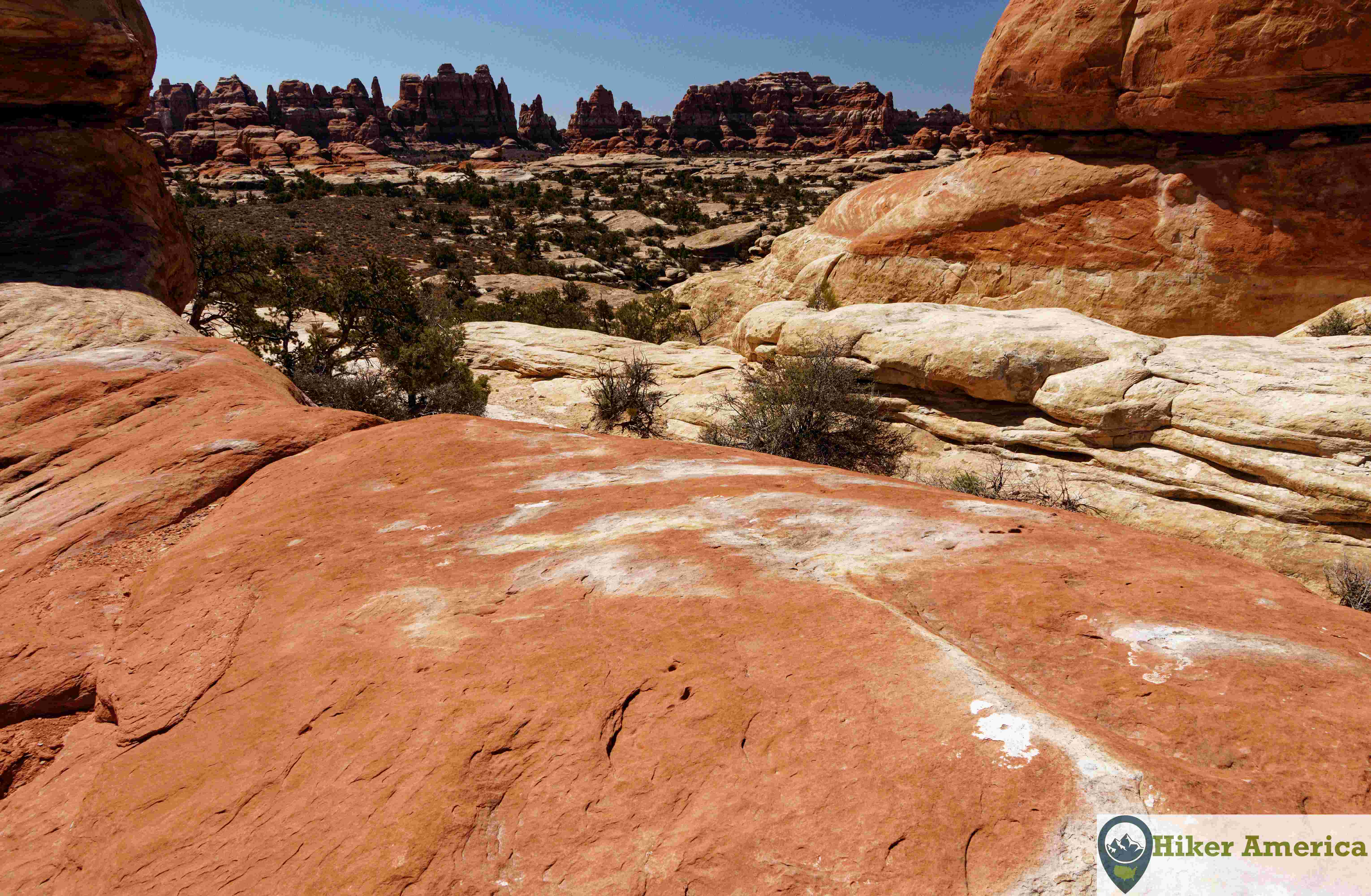
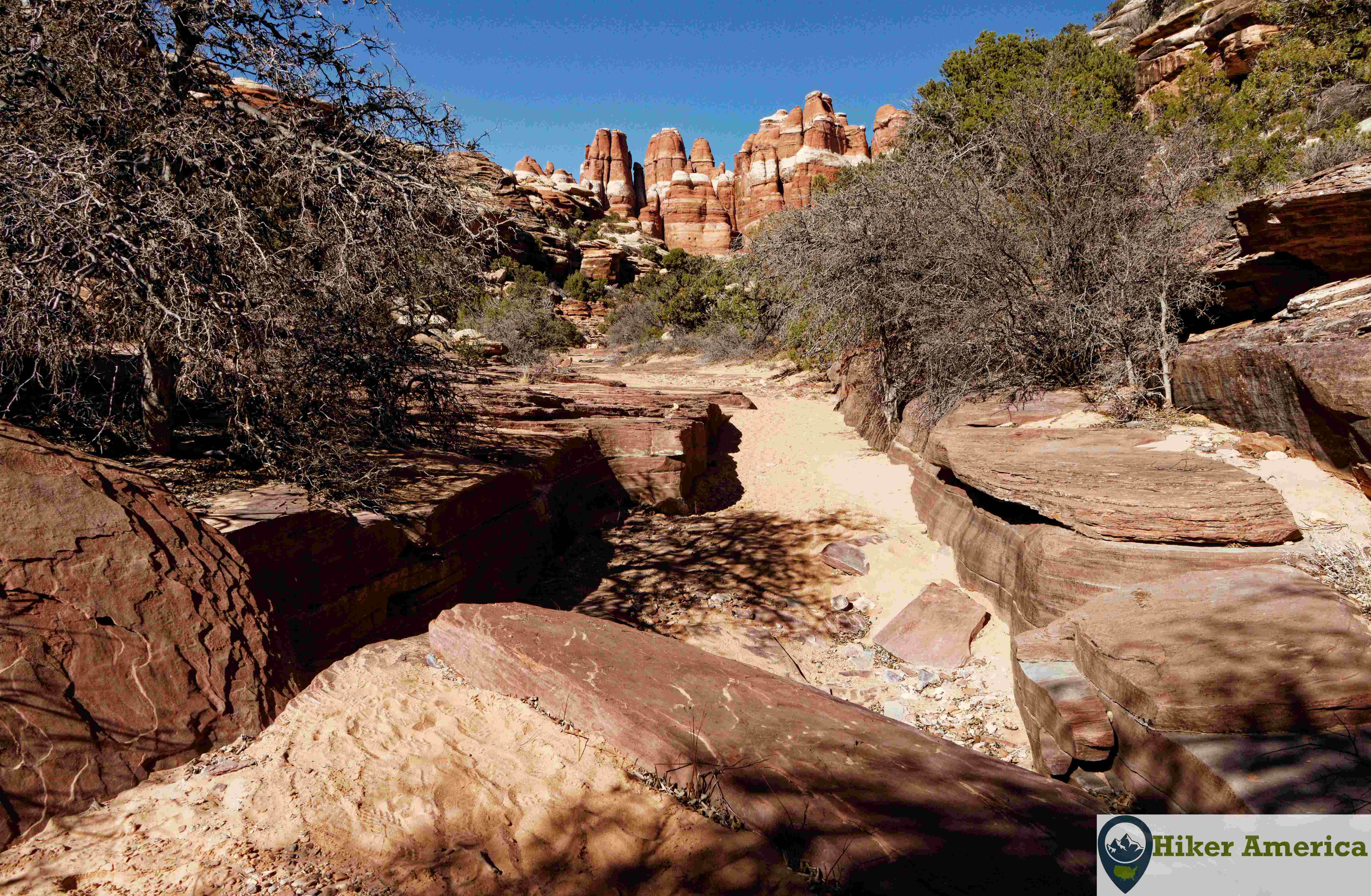
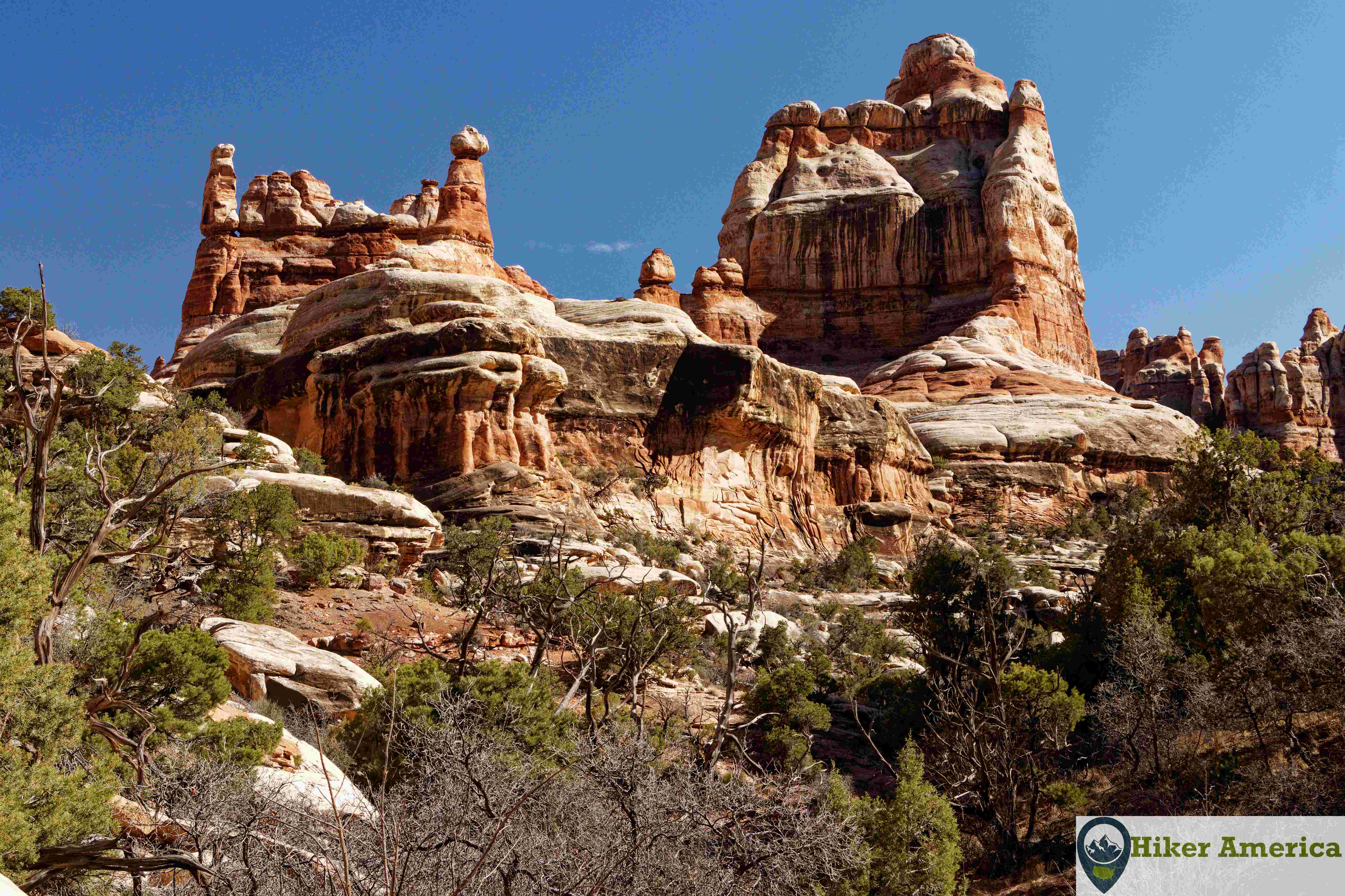
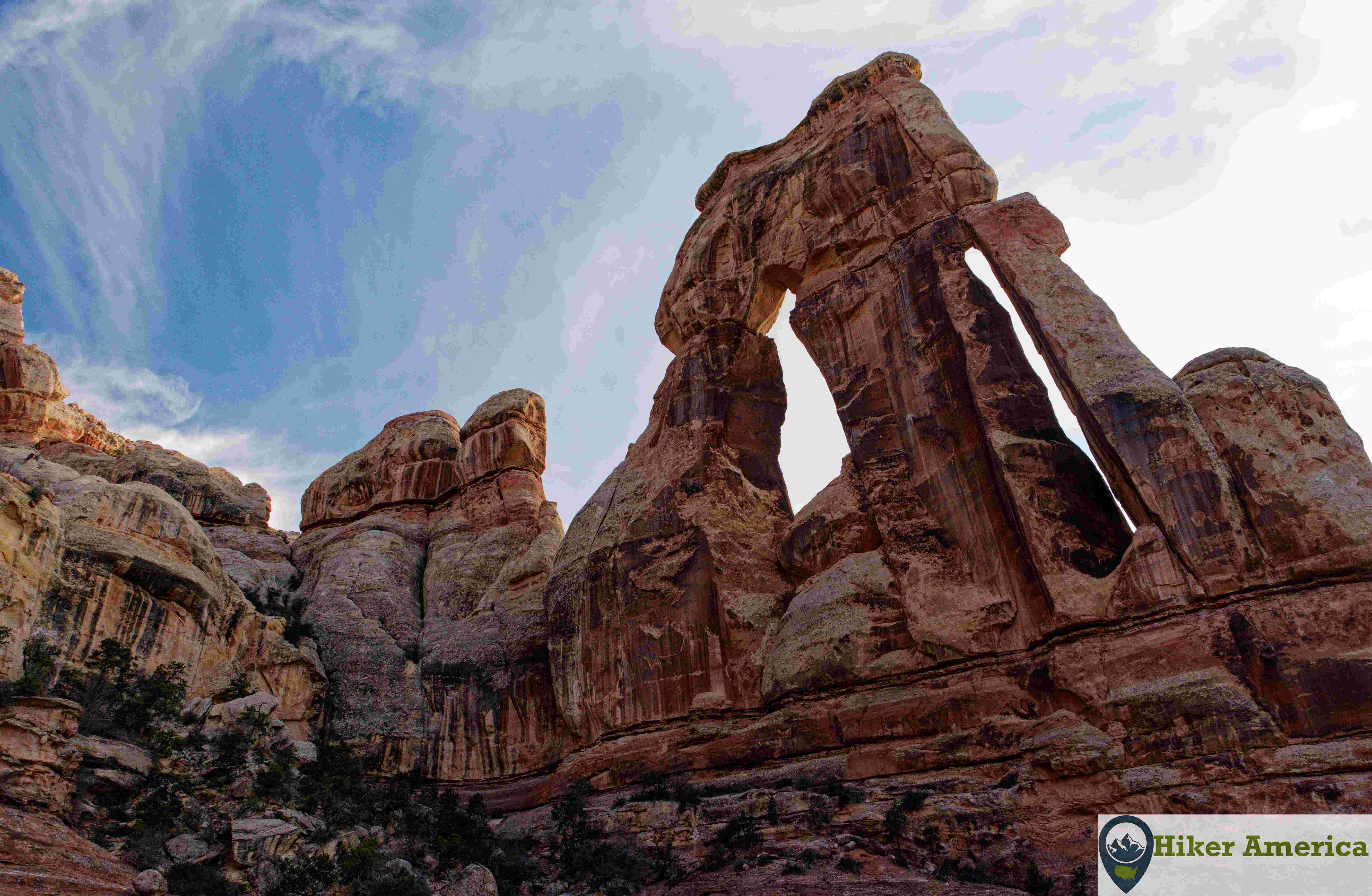
The trail begins by climbing a set of stairs in a rock cleft. At the top, there are stunning views. Soon after, the trail passes two impressive formations on the left. The trail continues to alternate between dirt and slick rock while meandering around rock fins and canyons. At 0.9 miles, the trail travels between stunning rock fins on the right and a slickrock dome on the left. Climb the dome for a spectacular view. After enjoying the view, return to the trail and hike between the rocks to a flat area. At the end of the flat area, the Chesler Park Trail reaches a junction with the North Connector. Trail. Stay straight and hike through a long and narrow rock cleft. You may have to wait for oncoming hikers here as it is too narrow for people to pass each other here. After the cleft, the trail enters an open area before curving to the left and passing an excellent view on the right. After the view, the trail descends into another rock cleft and then descends steeply on stone steps to reach a junction in Elephant Canyon. Take a left towards Druid Arch. This 0.7 mile section of trail follows the wash in Elephant Canyon. It passes campsite EC2 shortly before reaching a junction with the South Connector Trail. Stay straight in the wash and soon pass campsite EC3. A little bit later the trail reaches a junction with the other end of the Chesler Park Trail. Stay straight and continue in the wash. There are stunning rock formations straight ahead. At around 4.1 miles the trail scrambles a steep area to get above an impassible section of canyon before rejoining the canyon again. Soon after, the trail climbs a really steep area that is slippery if you don't have good traction. After this, the trail climbs a ladder on a boulder and crosses a crevice below the Druid Arch. Next, the trail ascends a steep talus slope to a slickrock shelf with amazing views of Druid Arch. The trail ends here.
| Hike Facts | Trailhead Facts | Location | |||
|---|---|---|---|---|---|
| 🥾 Trail Features: | Views, canyons and a spectacular arch. | 🥾 Parking: | Can fit over 30 cars but the room is limited room for RVs. | 🥾Nearest Services | Monticello, Utah has the closest services like food and gas. |
| 🥾 Milage: | 10.8 mi/17.4 km roundtrip | 🥾 Acccess Road: | A well graded dirt road | 🥾 Nearest Lodging: | Monticello, Utah has the closest lodging options. |
| 🥾 Elevation Gain: | At least 503 ft but much greater with all the up and downs. | 🥾 Trailhead Features: | Parking, signs and a vault toilet | 🥾 Nearest Camping: | The Needles Campground is the closest campground. There are also other campgrounds outside of the park like Superbowl Campground. |
| 🥾 Trail Use/Surface: | 🥾 Trailhead Elevation: | 5165 ft/1574.29 m | |||
| 🥾 Pets: | No | 🥾 Park Hours: | 24 | ||
| 🥾 Crowds: | No | 🥾 Fee: | Yes | ||
| 🥾 Bugs: | Minimal | 🥾 Best Season: | All year |
Handicap Acccessibility
No
Tips for a Great Hike
🥾 Carry plenty of water and wear footwear with good traction.
🥾 The Druid Arch Trail has two scrambles, two ladders and a rock slide that you have to climb up before the viewpoint.
🥾 There is a fair amount up and down before you get the wash part of the hike.
🥾 Avoid going all the way to the arch during rainy weather. Flash floods are a real possibility in the wash section.
🥾 The first two miles feature stunning scenery, so people who don't want to hike all the way to the arch can still enjoy the earlier sections of the trail.
Recommended Resources
trail page link
National Geographic Canyonlands National Park Trails Illustrated Map 210
Hiking Canyonlands and Arches National Parks: A Guide to 64 Great Hikes in Both Parks by Bill Schneider (2023)