

Get detailed maps, area weather, and more by becoming an Adventurer. Learn More.
Home › Utah › Devils Garden Trail





About the Trail
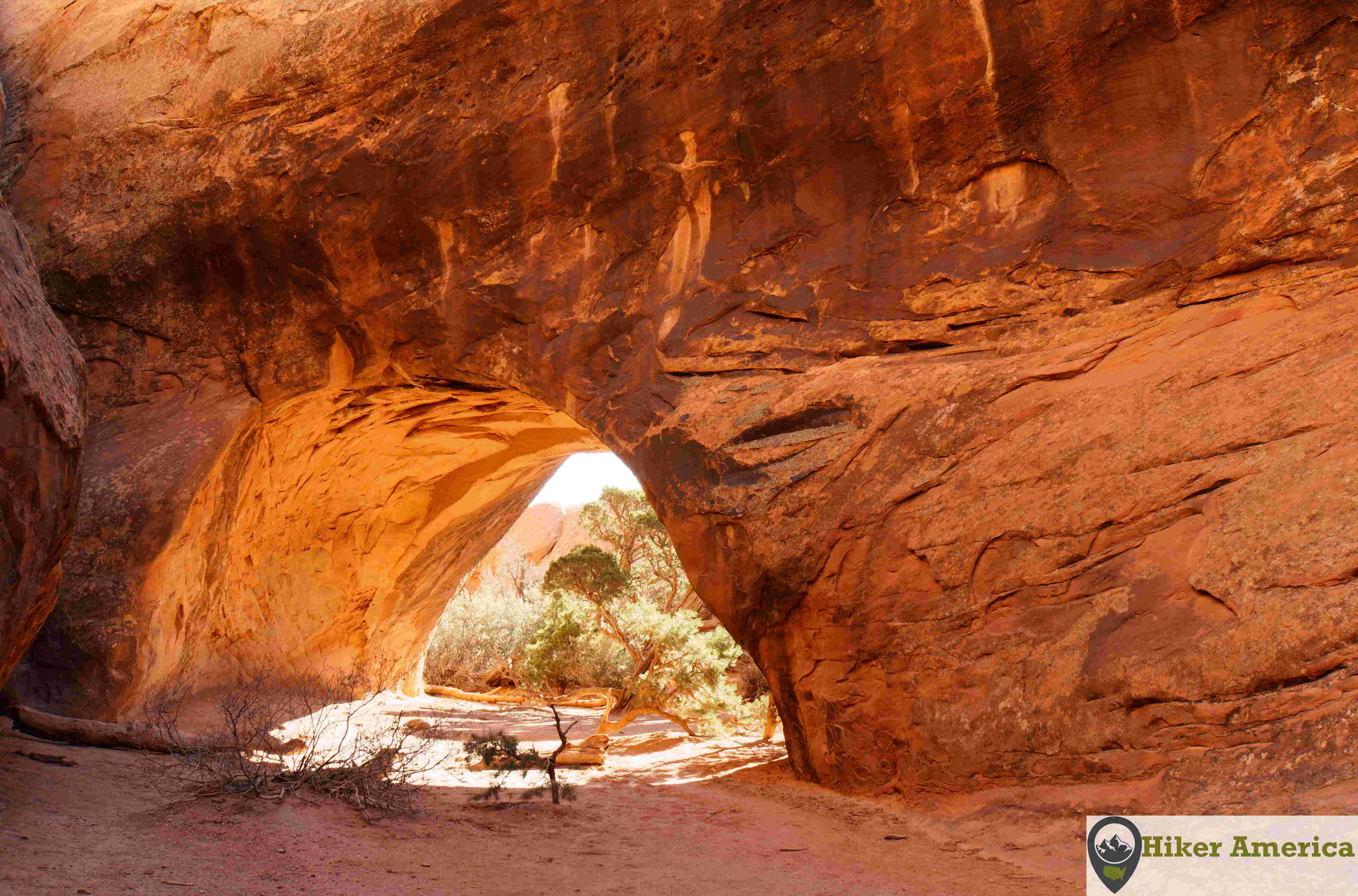
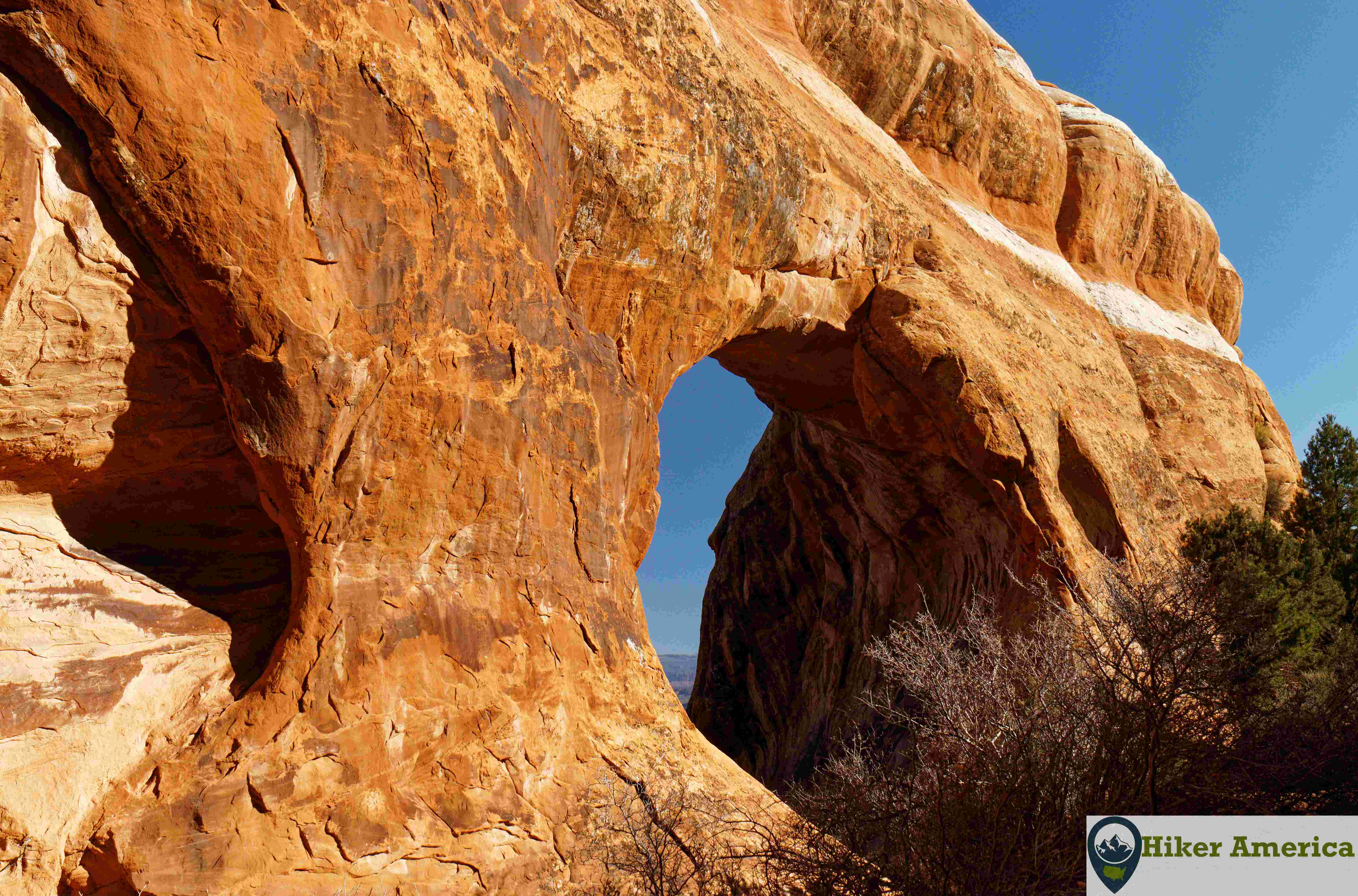
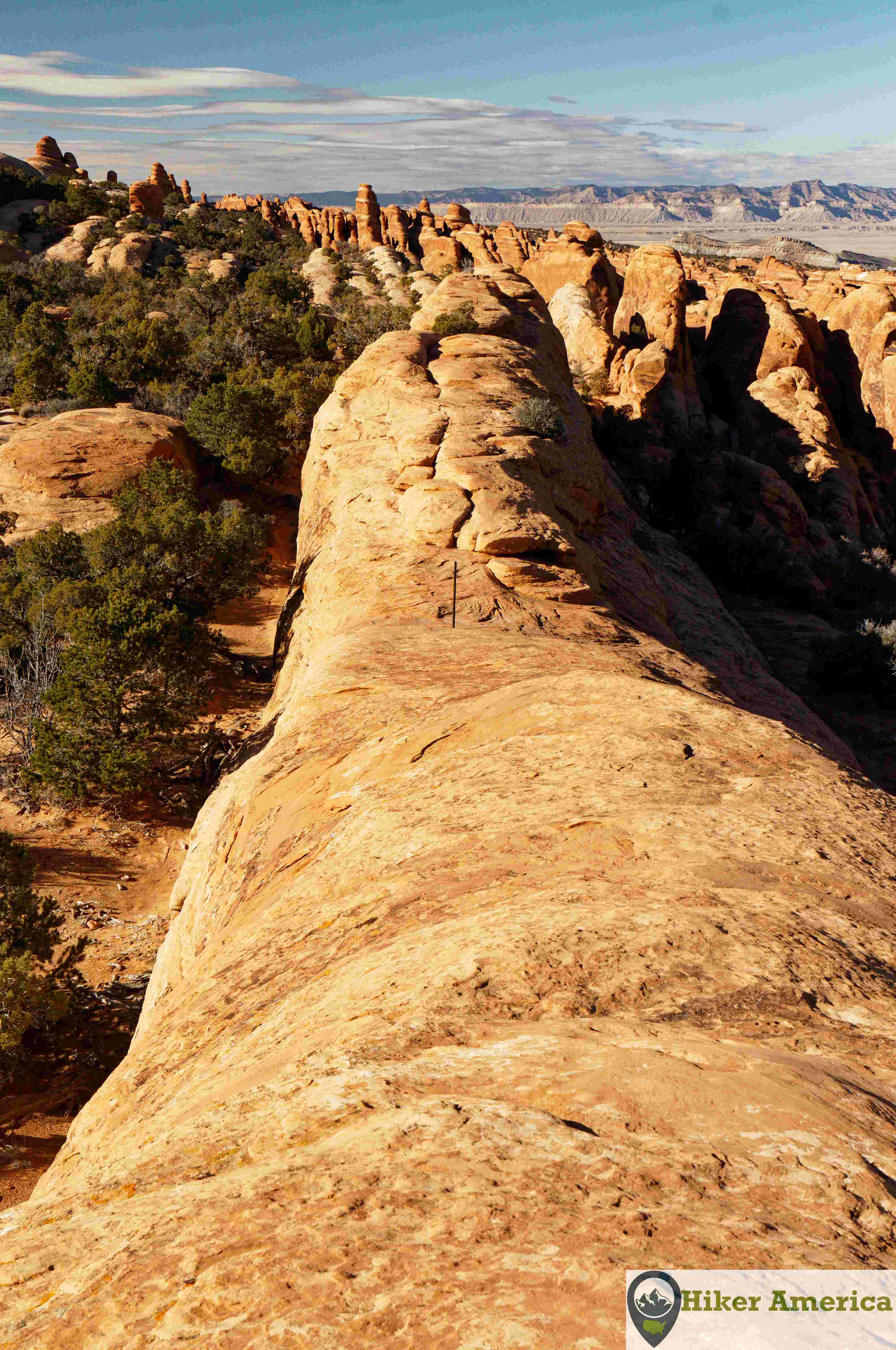
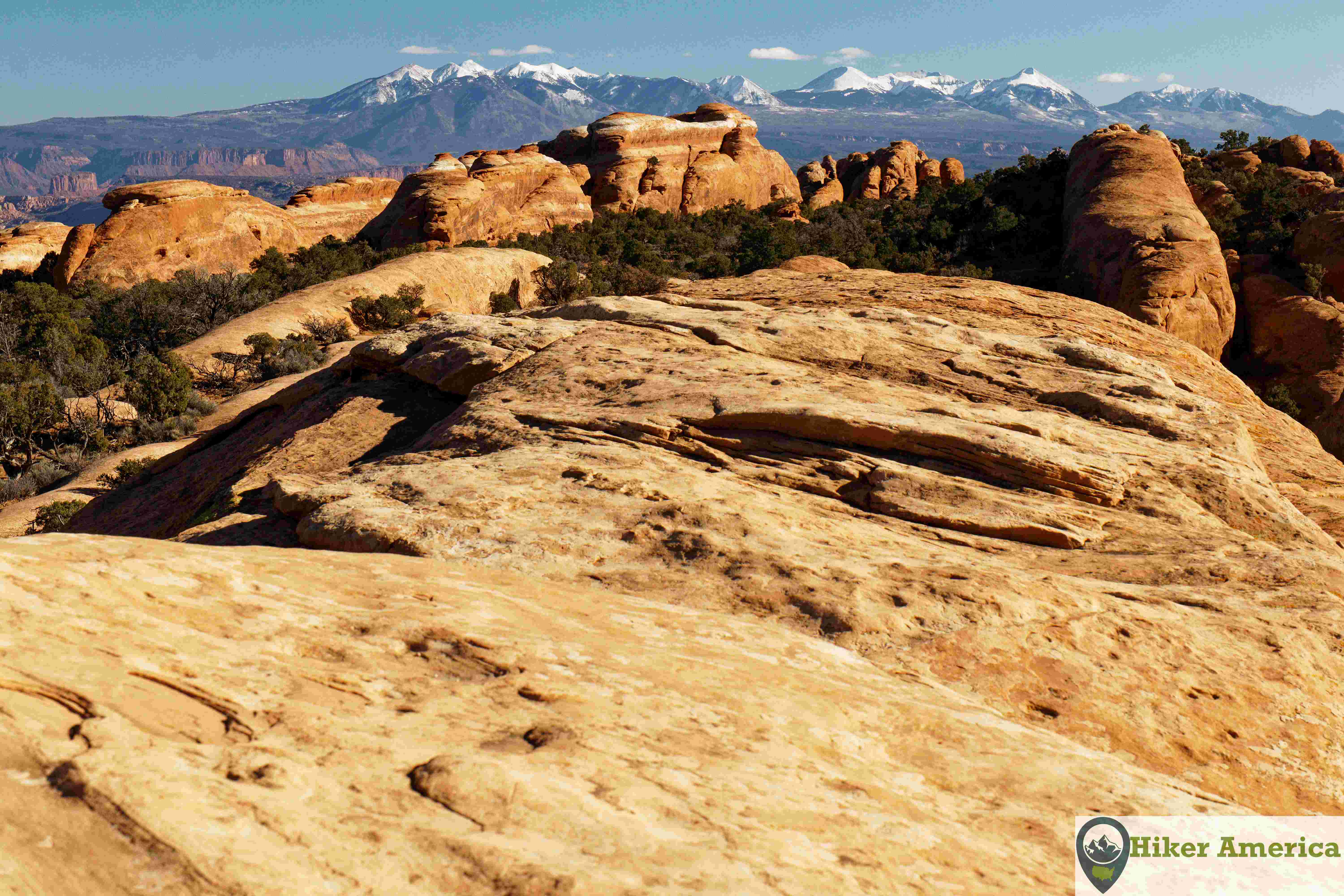
With at least 7 arches to see, the Devils Garden Trail is the most scenic hike in Arches National Park. The trail is easy up to Landscape Arch. Beyond Landscape Arch, the trail becomes difficult as there are moments of scrambling and exposure. The hike to Navajo Arch and Double O Arch makes for a rewarding day.
Map
View Larger Map
Directions
From the entrance of Arches National Park, drive north on the main park road for 19 miles to the large parking area at the Devils Garden Trailhead.
Description
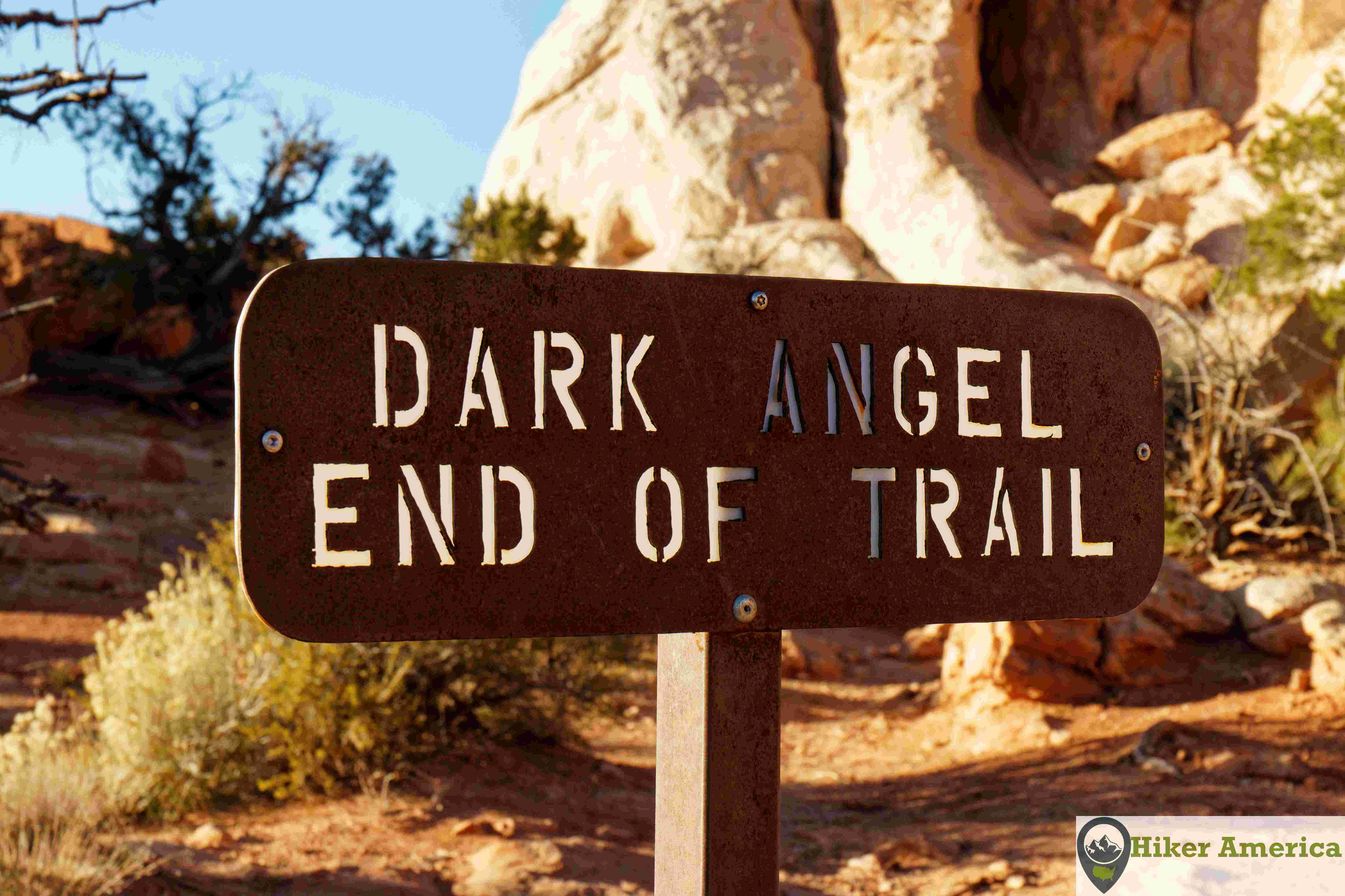
From the trailhead, the trail immediately travels between huge sandstone rock fins. At 0.25 miles, the spur trail to Tunnel and Pine Tree Arches is reached. The spur descends to another junction where right goes to a view of Tunnel Arch and left goes to Pine Tree Arch. This detour adds 0.4 miles extra miles. After returning to the main trail, hike 0.55 miles farther to another junction to where the Primitive Loop Trail divulges right. Take a left at this junction and hike 0.1 to the famous view of Landscape Arch although there are views of the arch along the entire 0.1 mile stretch. After Landscape Arch, the trail climbs steeply up a ramp of a rock fin passing the former site of Wall Arch at 1.0 mile. At 1.25 the spur trail for Partition and Navajo Arches is reached. This spur has a split where left goes to Partition Arch and straight goes to Navajo Arch. These arches also make great destinations. Continuing on the main trail, the trail soon climbs onto a rock fin and follows it before descending and passing a short spur to a view of Black Arch. After this spur, the trail descends on slanted rock to a junction at 2.0 miles that leads to Double O Arch. For most people, this makes an excellent turn around spot. Those who have more gumption can hike to the Dark Angel or complete the loop on the Primitive Trail. The hike to Dark Angel adds another mile roundtrip and features another view of Double O Arch from the backside. The Primitive Trail is very rugged and is not recommend for those who are inexperience or those who are afraid of heights. Scrambling is required for much of the trail and the second part climbs up a long sandy hill back to the junction at Landscape Arch.
| Hike Facts | Trailhead Facts | Location | |||
|---|---|---|---|---|---|
| 🥾 Trail Features: | 7 arches including the longest arch in North America, rock fins, scrambles, steep drop offs, a rock tower and desert scenery | 🥾 Parking: | Large parking lot that fills up frequently | 🥾Nearest Services | Moab, Utah |
| 🥾 Milage: | 1.8 mi/2.9 km roundtrip for Landscape Arch; 3.0 mi roundtrip for Navajo and Partition Arches; 4 mi round trip for Double O Arch, 5 mi roundtrip for Dark Angel, and 7.2 mi for the entire loop. | 🥾 Acccess Road: | Paved | 🥾 Nearest Lodging: | Moab, Utah has lots of lodging options. |
| 🥾 Elevation Gain: | 286 ft/87 m | 🥾 Trailhead Features: | Large parking lot with 8 handicap spots, 4 vault toilets, picnic tables, benches and interpretive signs. | 🥾 Nearest Camping: | Devils Garden Campground |
| 🥾 Trail Use/Surface: | 🥾 Trailhead Elevation: | 5183 ft/1579.8 m | |||
| 🥾 Pets: | No | 🥾 Park Hours: | 24 | ||
| 🥾 Crowds: | Yes | 🥾 Fee: | $30/private vehicle,$25/motorcycle,$15 per person; 2 extra dollars for a timed entry ticket between April 1 and October 31 between the hours of 7am to 4pm. | ||
| 🥾 Bugs: | No | 🥾 Best Season: | All year |
Handicap Acccessibility
This hike is not handicap accessible. However, those with some mobility could make it to Landscape Arch. There are handicap parking spots and a vault toilet at the trailhead.
Tips for a Great Hike
🥾 Carry plenty of water and wear proper footwear with good grip.
🥾 The trail is difficult pass Landscape Arch and the primitive trail has even more difficult scrambles such as steep slickrock with few footholds.
🥾 I do not recommend hiking pass Landscape Arch when it is icy. The park service usually closes the trail, but I have seen it open when it is icy.
🥾 Double O Arch is an excellent turn around destination.
🥾 Those who are afraid of heights will not enjoy the trail past Landscape Arch.
Recommended Resources
Hiking Canyonlands And Arches National Parks: A guide to more than 60 great hikes (a Falcon Guides book by Bill Schneider)
National Geographic Trails Illustrated: Arches National Park Map Number 211
nat park hiking page link