

Get detailed maps, area weather, and more by becoming an Adventurer. Learn More.
Home › Colorado › Zimmerman Lake Trail





About the Trail
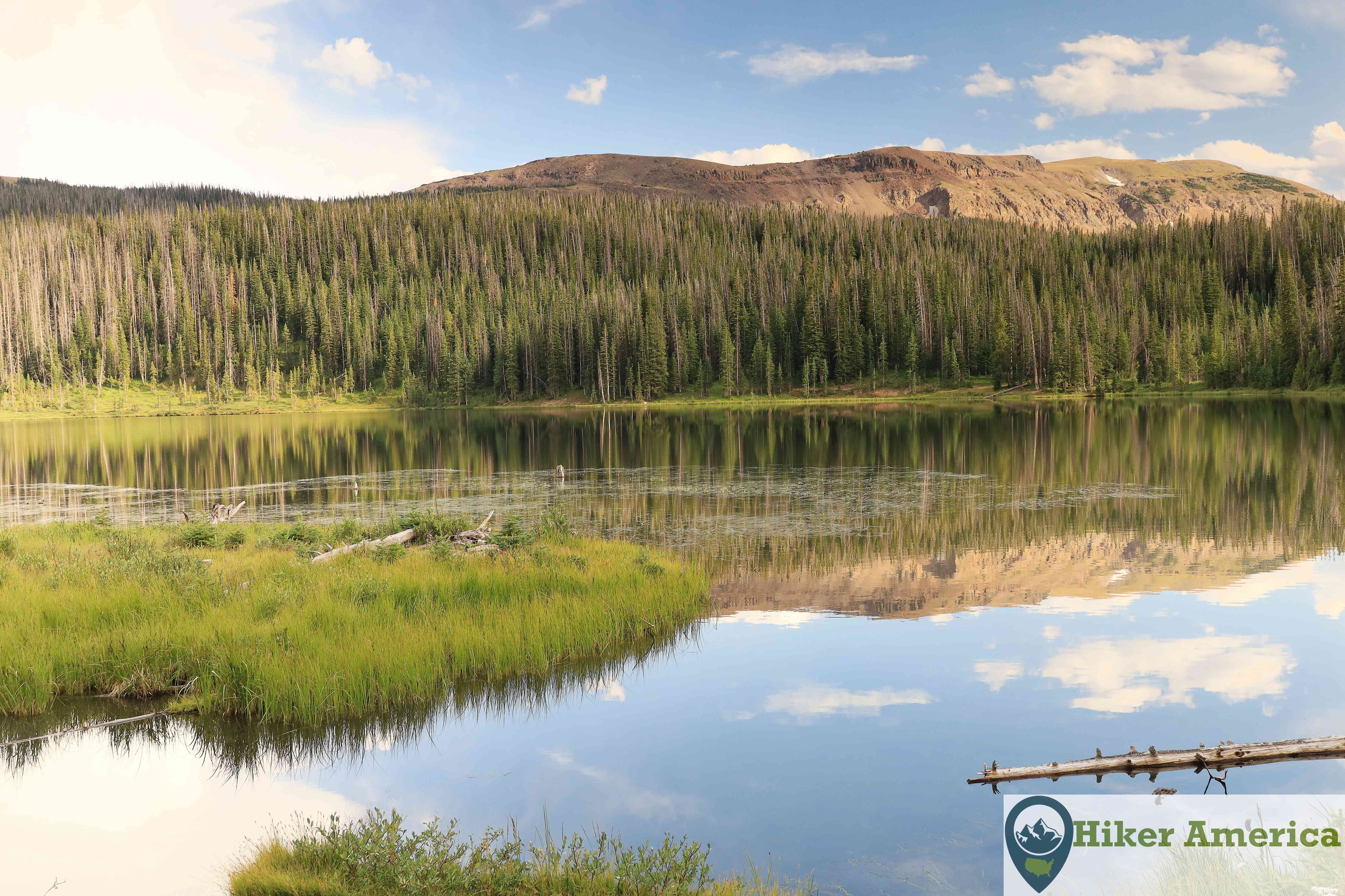
This trail leads to Zimmerman Lake which is quite scenic. There are special fishing regulations at the lake if you are there to fish. In the winter, there is a ski trail around the lake.
Map
View Larger Map
Directions
From downtown Fort Collins, take US 287 north for about 10 miles and take a left onto CO State Highway 14. Drive on CO 14 for 56 miles to the large parking area on the left.
Description
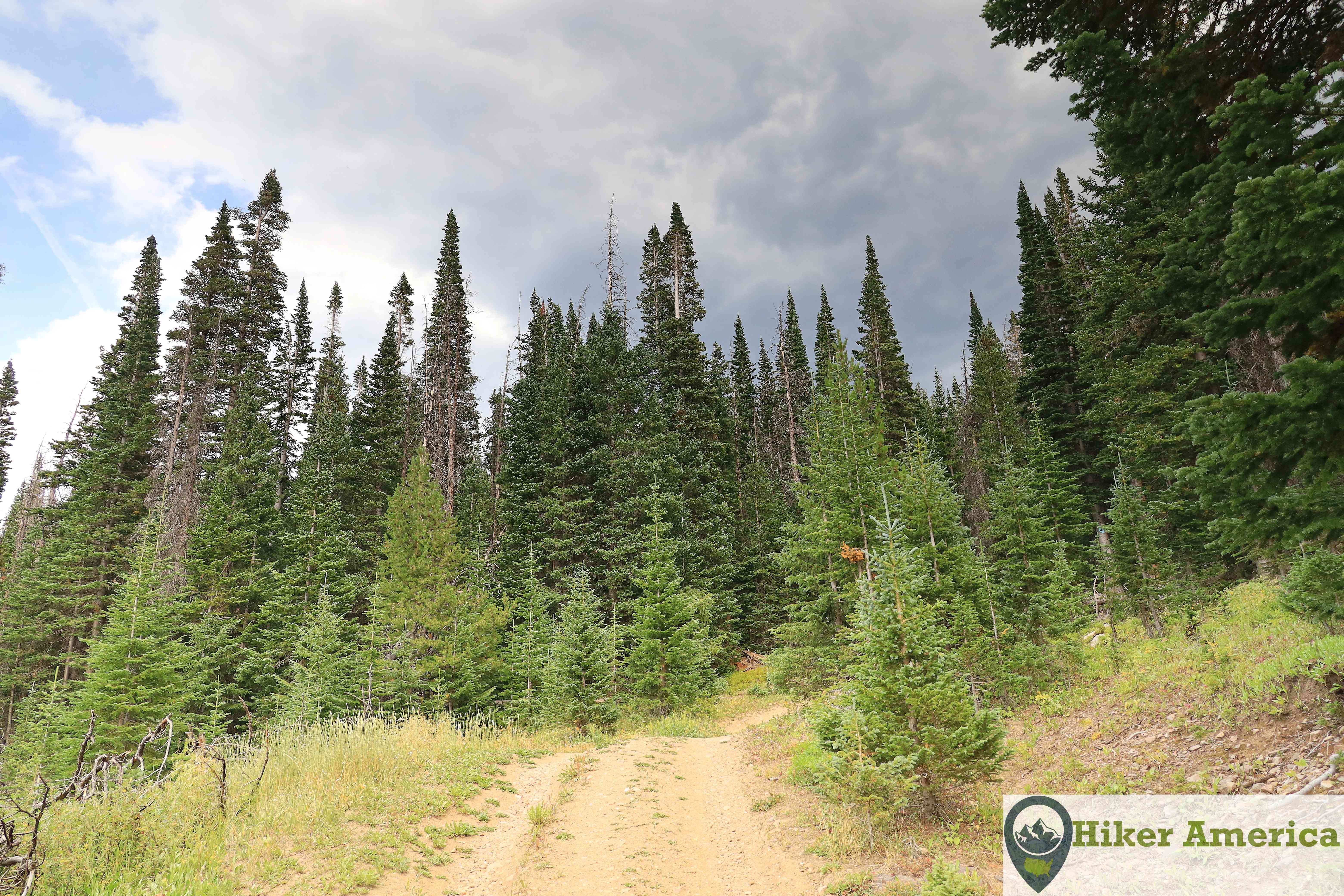
From the trail, take the grass path behind the sign. It immediately intersects with a dirt road. Take a left and hike the road into the trees. The road turns left and climbs rather steeply. Most of the trail is like this. After the steepest area, the trail switchbacks and passes by a small meadow before switchbacking again back to the upper area of the meadow. A ski trail comes in from the right. Stay straight and ascend in the trees to a junction with a post for forms for fishermen leaving the lake. Take a right and decide if you want to take a narrow path on your left to the dam or stay straight to an open area on the side of Zimmerman Lake. The best views are from the earthen dam and you can get there either way.
| Hike Facts | Trailhead Facts | Location | |||
|---|---|---|---|---|---|
| 🥾 Trail Features: | Forest, views and a scenic lake | 🥾 Parking: | A large 55 car parking area. | 🥾Nearest Services | Walden, Colorado has the nearest services like food and gas. |
| 🥾 Milage: | 2.4 mi/3.86 km round trip | 🥾 Acccess Road: | Paved | 🥾 Nearest Lodging: | There are a few motels in Walden, Colorado. Also, there are cabins for rent in the area. |
| 🥾 Elevation Gain: | 453 ft/138.07 m | 🥾 Trailhead Features: | Signs, vault toilet | 🥾 Nearest Camping: | Chambers Lake Campground is close by. |
| 🥾 Trail Use/Surface: | 🥾 Trailhead Elevation: | 10026 ft/3055.92 m | |||
| 🥾 Pets: | Yes, but they must be under voice control. | 🥾 Park Hours: | 24 | ||
| 🥾 Crowds: | No | 🥾 Fee: | No | ||
| 🥾 Bugs: | Yes | 🥾 Best Season: | All year |
Handicap Acccessibility
No
Tips for a Great Hike
🥾 Carry water and wear proper footwear.
🥾 While this hike is typically considered easy, I label it moderate due to the high elevation and the steady uphill.
🥾 Once you reach a box with forms for fisherman, take a right at the unsigned junction. Just after the junction a narrow trail leads to the dam while the road leads to an open area just west of the dam.
🥾
🥾