

Get detailed maps, area weather, and more by becoming an Adventurer. Learn More.
Home › Colorado › Crags via Crags Trail









About the Trail
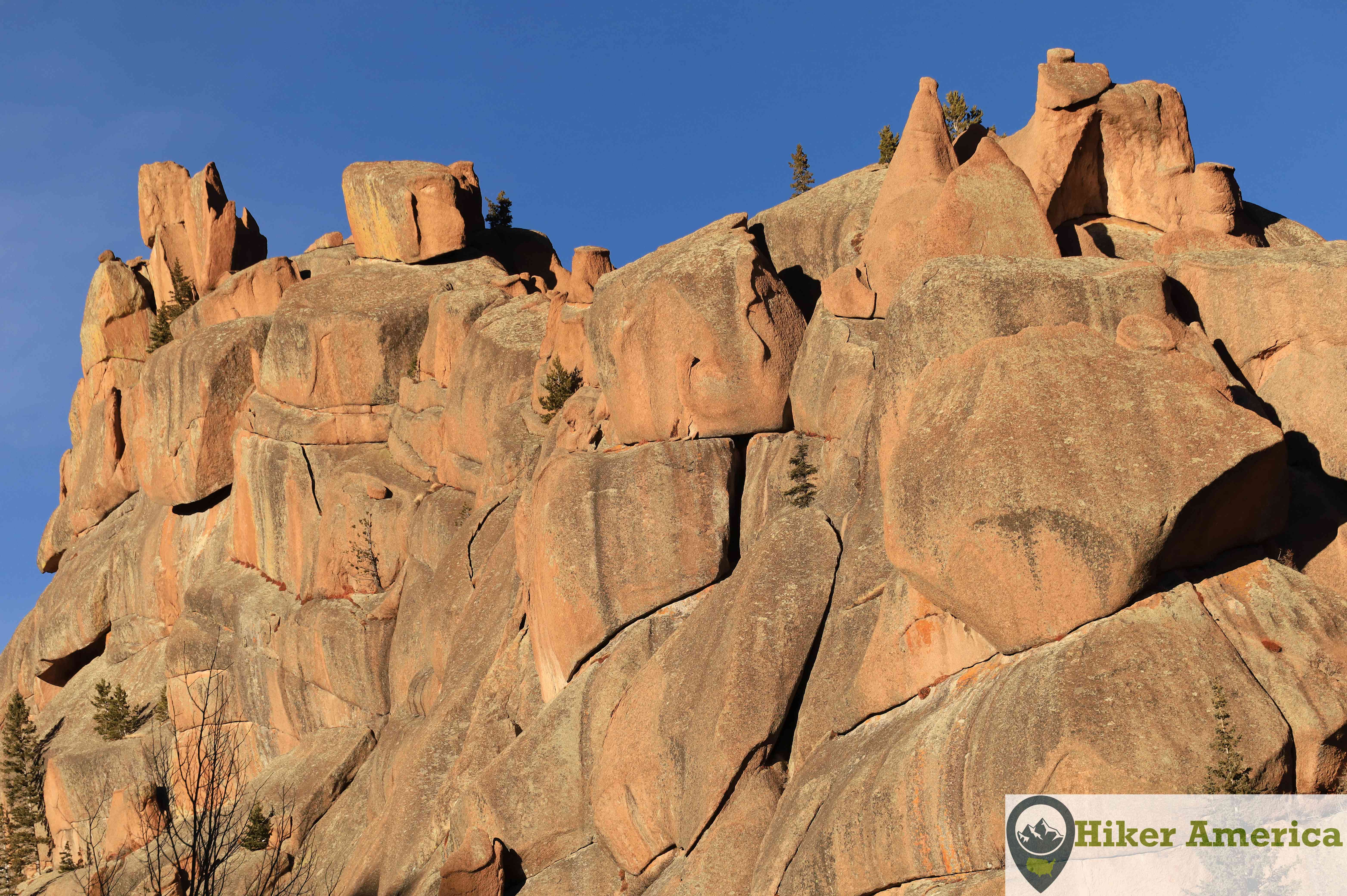
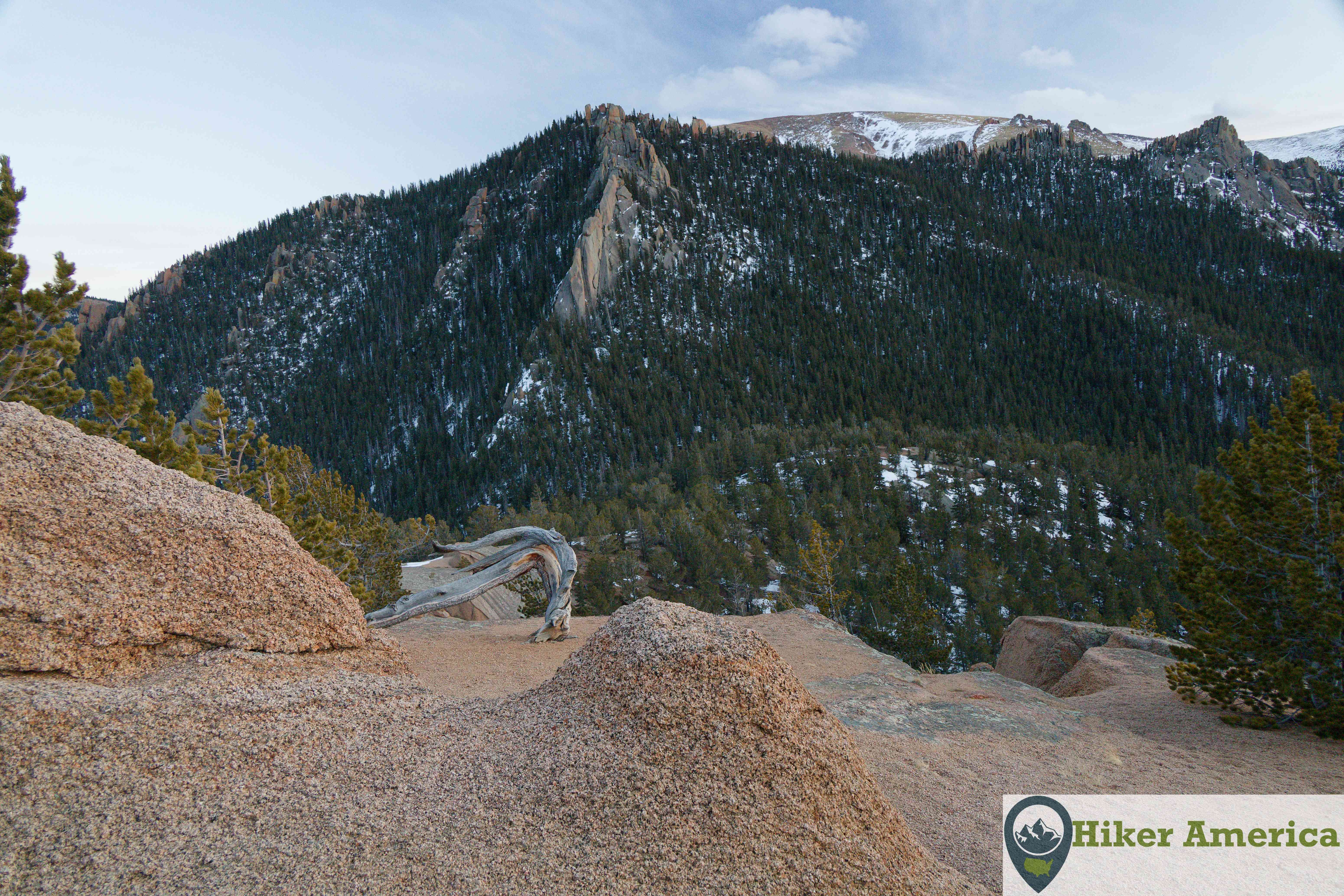
The Crags Trail passes by stunning rock formation on its way to a spectacular peak. The destination is a high reward for relatively low effort.
Map
View Larger Map
Directions
From Woodland Park, drive on US 24 for 7 miles to Divide and take a left onto Co 67. Drive 67 for about 4.3 miles to Teller Co Rd 62 and take a left onto the dirt road. Follow this narrow dirt road 2.9 miles to the large trailhead. Follow the signs.
Description
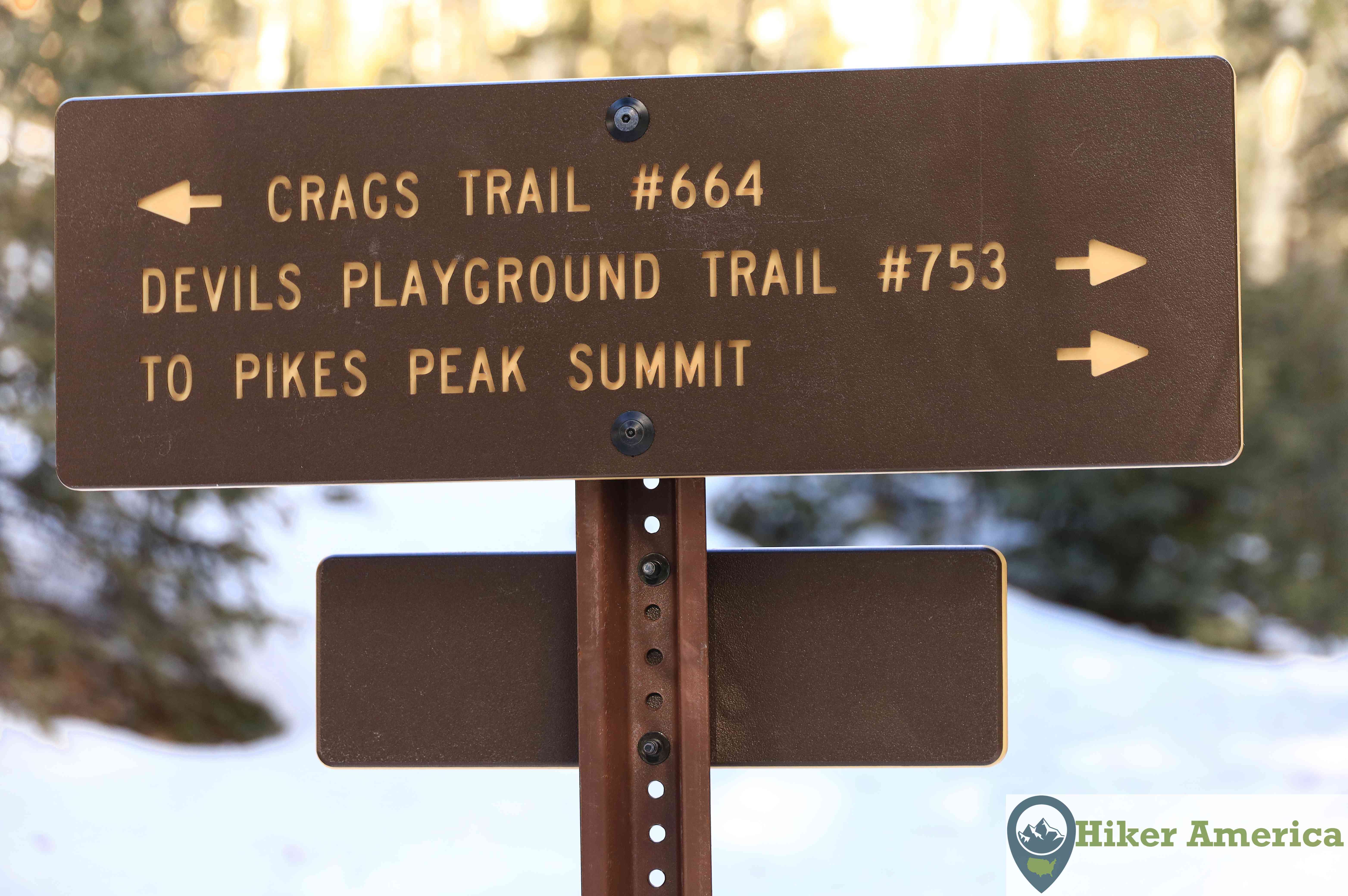
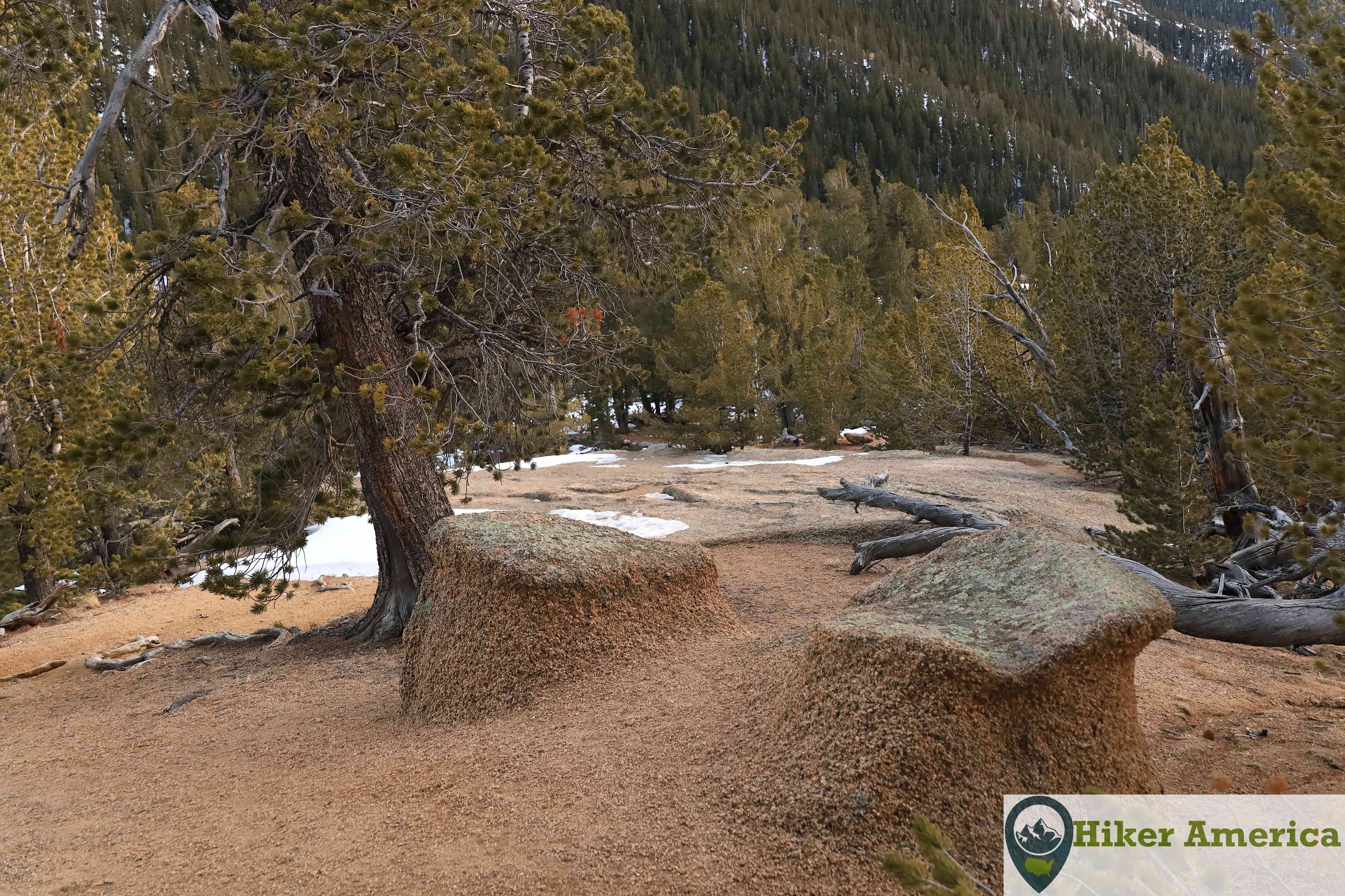
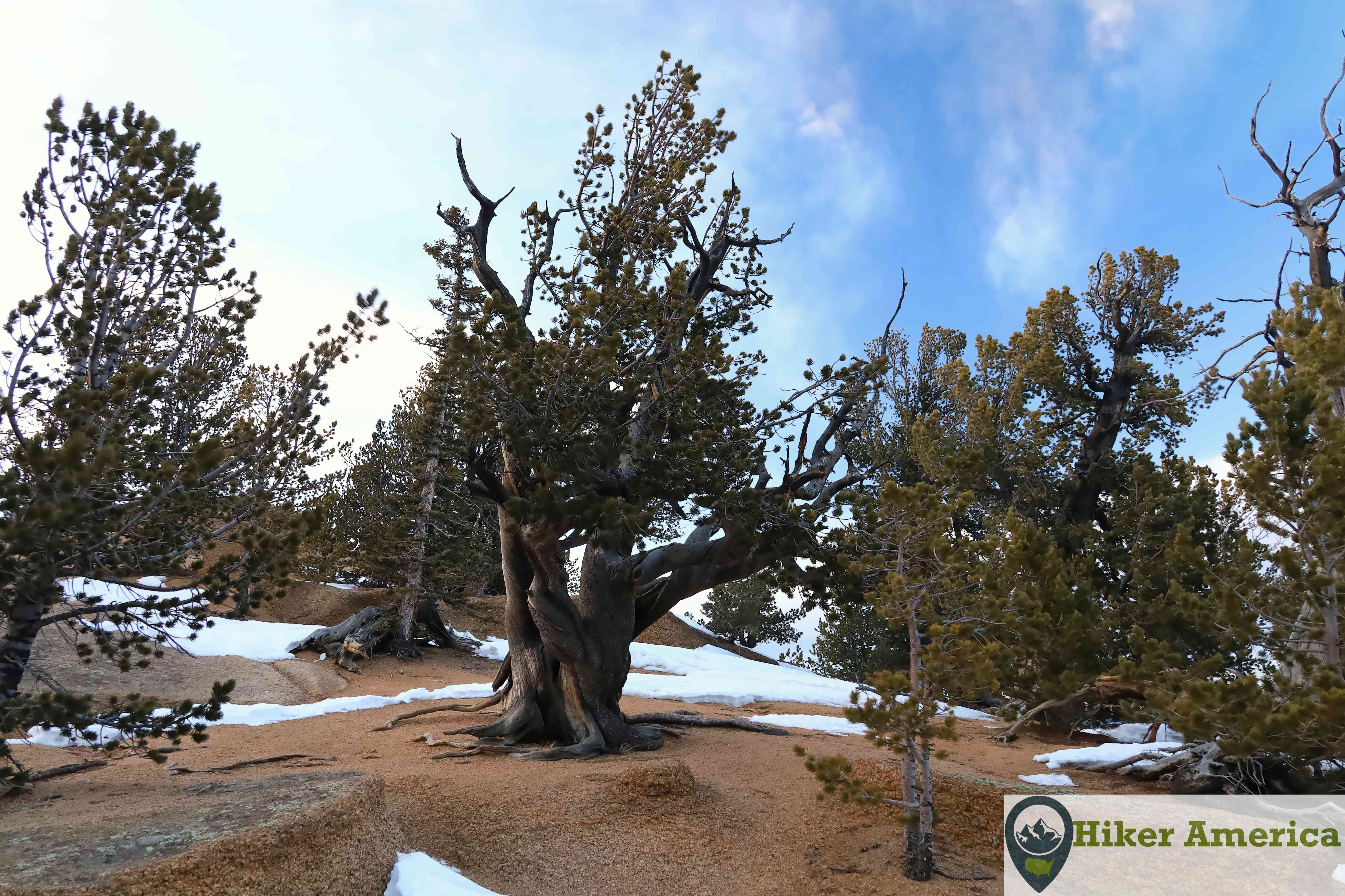
From the trailhead, the Crags Trail crosses a bridge and ascends steeply up a ridge at first and then switchbacks. Soon the trail descends a little in a nice forest that is above the Crags Campground. Next, it curves to the right and descends to an unmarked junction that leads to the Crags Campground. Immediately after, the trail reaches a junction with the Devils Playground Trail. Stay to the left and climb gently in a thick forest. Soon the trail enters a small meadow and then a long meadow with aspens. The trail enters more trees before entering another long meadow with spectacular views rock formations on both sides of the trail. After this meadow, the trail climbs steeply in the forest up to a saddle with occasional glimpses of rock formations. The trail can be unclear at the saddle when there is snow on the ground. It turns left and climbs to another limited view and turns left to climb up ledges with bristlecones. Soon the top is reached. The views are spectacular in all directions.
| Hike Facts | Trailhead Facts | Location | |||
|---|---|---|---|---|---|
| 🥾 Trail Features: | Forests, rock formations, views and a summit | 🥾 Parking: | A large dirt parking lot | 🥾Nearest Services | Woodland Park has the closest services like food and gas. |
| 🥾 Milage: | 4.4 mi/ 7.08 km roundtrip. Add 2.4 miles roundtrip in the winter. | 🥾 Acccess Road: | A narrow dirt road | 🥾 Nearest Lodging: | Woodland Park has the closest lodging options. |
| 🥾 Elevation Gain: | 800 ft/ m | 🥾 Trailhead Features: | Parking, signs and a vault toilet | 🥾 Nearest Camping: | Crags Campground |
| 🥾 Trail Use/Surface: | 🥾 Trailhead Elevation: | 9990 ft/3044.95 m | |||
| 🥾 Pets: | Yes | 🥾 Park Hours: | 24 | ||
| 🥾 Crowds: | Yes | 🥾 Fee: | Free unless you park inside of Crags Campground. | ||
| 🥾 Bugs: | Yes | 🥾 Best Season: | All year. The road is closed from December 1 to June 1 every year so it requires a 1.2 mile hike to get the summer trailhead. |
Handicap Acccessibility
No
Tips for a Great Hike
🥾 Carry plenty of water and wear proper footwear.
🥾 The hike at a high elevation so it may be harder if you are not used to the elevation.
🥾 Avoid weekends as the parking lot fills up during the warmer months.
🥾 The hike can be done in the winter but requires a 1.2 mile road walk to get to the summer trailhead so add 2.4 miles round trip.
🥾
Recommended Resources
Trail Info Page Link
National Geographic Pikes Peak Cañon City Trails Illustrated Map