

Get detailed maps, area weather, and more by becoming an Adventurer. Learn More.
Home › Colorado › Buffalo Burn Trail and Colorado Trail Loop








About the Trail
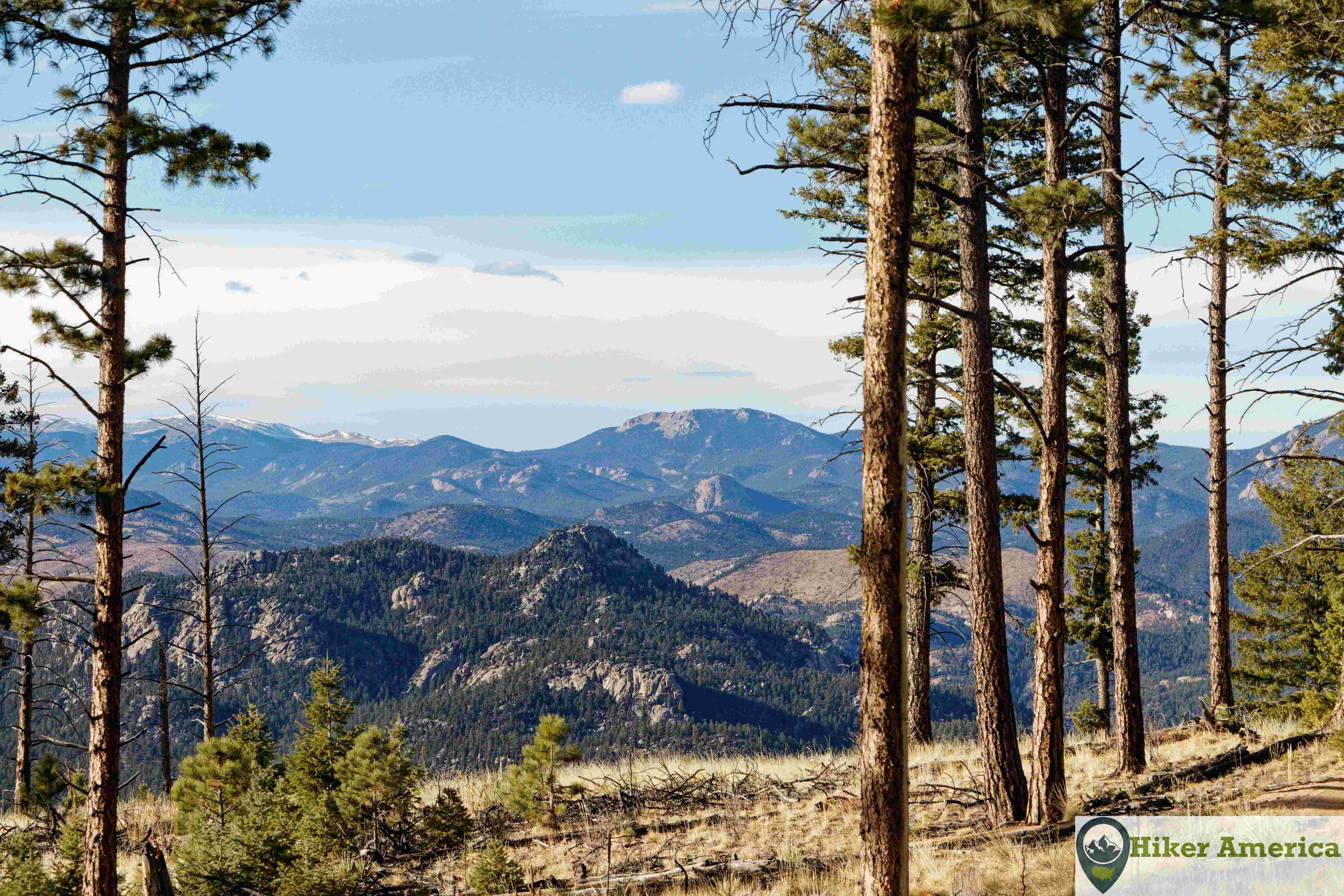
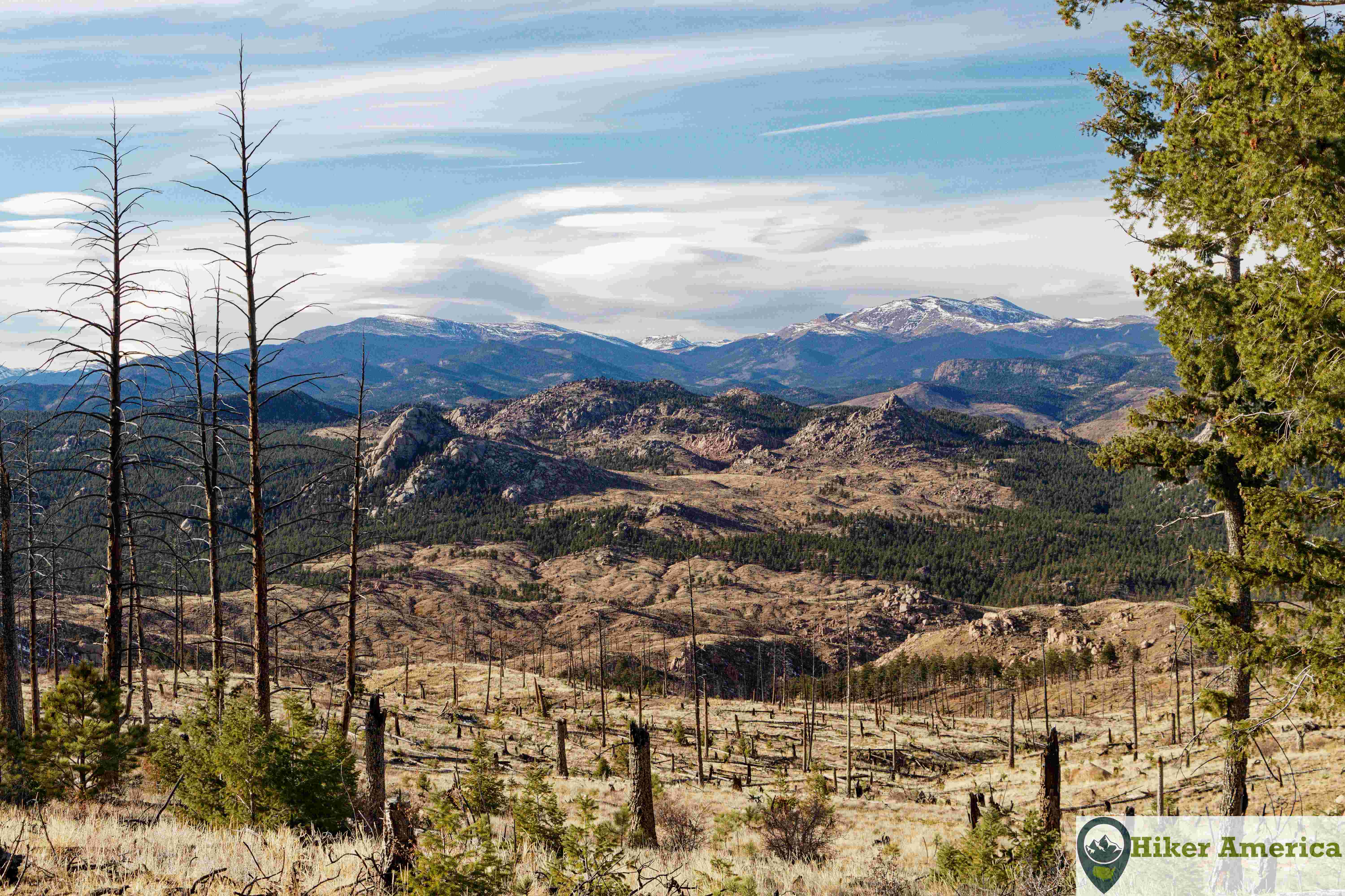
This 2.6 mile loop leads to excellent views of Mount Blue Sky (formerly Mount Evans) at the edge of a burned area. This area is also a great biking area.
Map
View Larger Map
Directions
Description
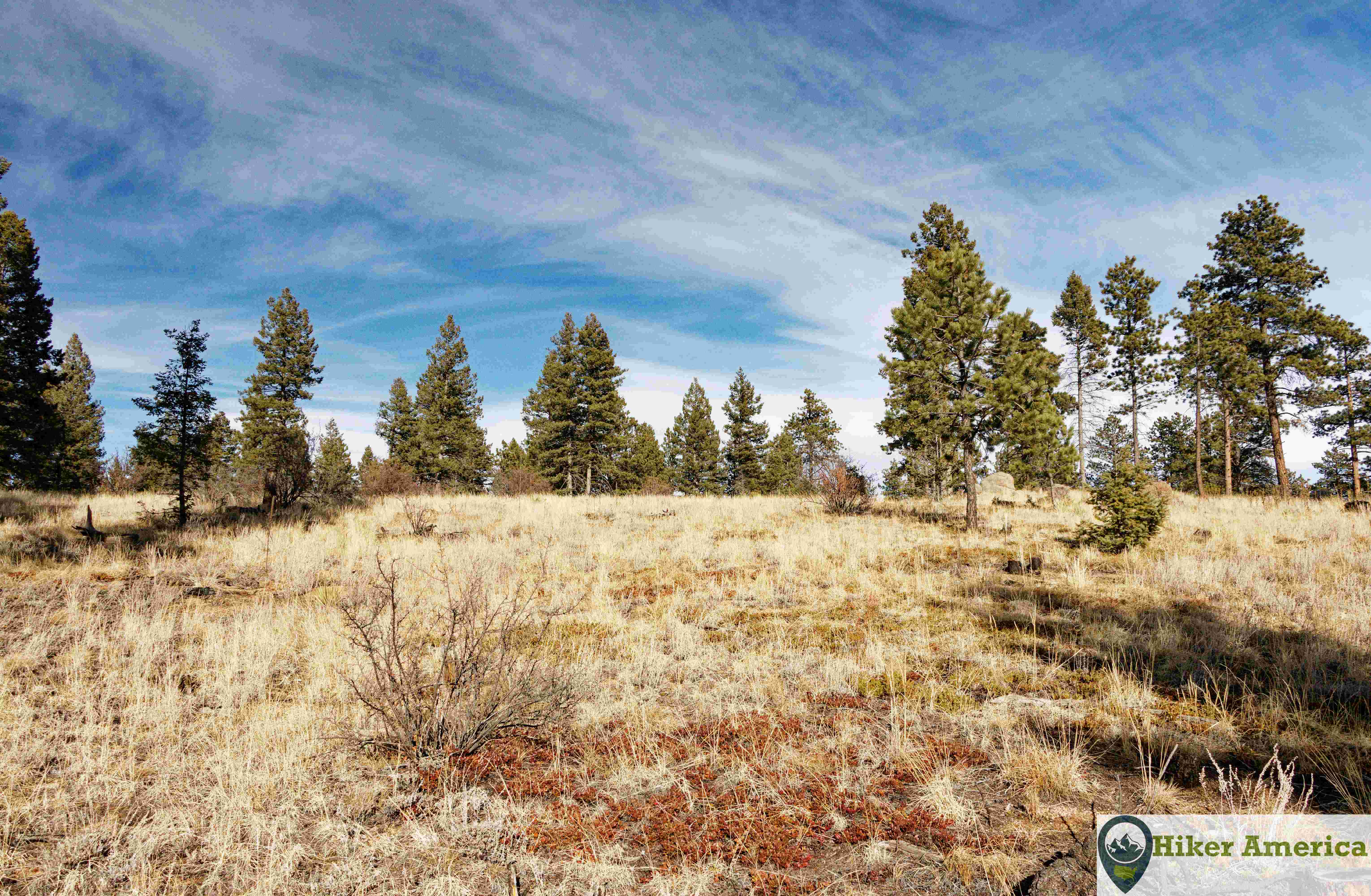
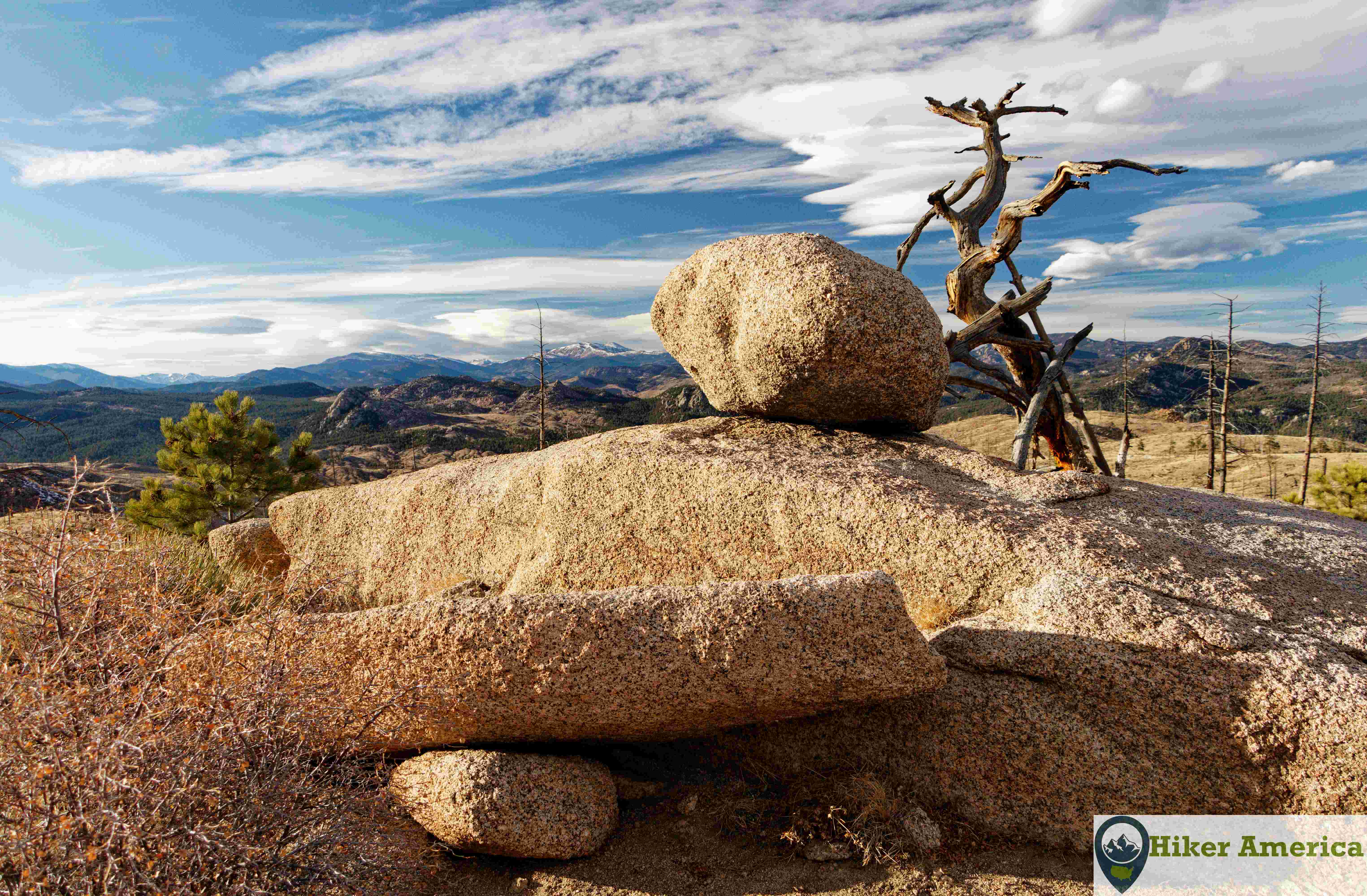
From the Little Scraggy trailhead, turn right on to the Colorado Trail. Soon after, take a left on to the Buffalo Burn Trail. This trail curves around through a pine forest that is interspersed with open areas. At about 1 mile, the trail enters a burned area that provides excellent views of the rugged area to the north and west. The trail turns east at rock outcropping and continues through the burned area. The Nice Kitty Trail takes off to the left at about 1.4 miles from the trailhead. After this junction, the trail stays in the burned area and then passes a stand of trees before opening up again and then reaches more trees at the junction with the Colorado Trail. To complete the loop, take a right and follow the Colorado Trail back to the trailhead for 0.7 miles.
| Hike Facts | Trailhead Facts | Location | |||
|---|---|---|---|---|---|
| 🥾 Trail Features: | Excellent views, pine forest and burnt forest | 🥾 Parking: | 30 plus cars and room for trailers | 🥾Nearest Services | Bailey, Colorado and Conifer, Co to the north have the closest services like gas stations. Deckers, Co to the south has a convenience store and a restaurant but no gas station. |
| 🥾 Milage: | 2.6 mi/ 4.18 km loop | 🥾 Acccess Road: | Paved except for a small dirt portion | 🥾 Nearest Lodging: | Deckers, Colorado has cabins. For motels, Woodland Park, Colorado to the south has a few options. |
| 🥾 Elevation Gain: | Minimal | 🥾 Trailhead Features: | Parking, picnic tables, vault toilet | 🥾 Nearest Camping: | Kelsey Campground and Buffalo Creek Campgrounds are the closest. There is also dispersed camping in the area. |
| 🥾 Trail Use/Surface: | 🥾 Trailhead Elevation: | 7870 ft/ 2398.78 m | |||
| 🥾 Pets: | Yes | 🥾 Park Hours: | Day use only | ||
| 🥾 Crowds: | No, but the area is popular with bikers | 🥾 Fee: | $10.00 per day, free for holders of the Interagency Annual Pass | ||
| 🥾 Bugs: | Minimal | 🥾 Best Season: | All year |
Handicap Acccessibility
No
Tips for a Great Hike
🥾 Carry water.
🥾 This area can be hot in the summer.
🥾 This area is popular for bikers so be cautious.
🥾 The hike can be extended by hiking on the Nice Kitty Trail.
🥾